 |
|
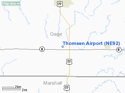
Location & QuickFacts
| FAA Information Effective: | 2008-09-25 |
| Airport Identifier: | NE92 |
| Airport Status: | Operational |
| Longitude/Latitude: | 096-39-58.0820W/40-02-58.0070N
-96.666134/40.049446 (Estimated) |
| Elevation: | 1405 ft / 428.24 m (Estimated) |
| Land: | 22 acres |
| From nearest city: | 4 nautical miles S of Wymore, NE |
| Location: | Gage County, NE |
| Magnetic Variation: | 06E (1985) |
Owner & Manager
| Ownership: | Privately owned |
| Owner: | Harold L Thomsen |
| Address: | 106 N 15
Wymore, NE 68466 |
| Phone number: | 402-645-3776 |
| Manager: | Harold L Thomsen |
| Address: | 106 N 15
Wymore, NE 68466 |
| Phone number: | 402-645-8392 |
Airport Operations and Facilities
| Airport Use: | Private |
| Wind indicator: | Yes |
| Segmented Circle: | No |
| Control Tower: | No |
| Landing fee charge: | No |
| Sectional chart: | Omaha |
| Region: | ACE - Central |
| Boundary ARTCC: | ZMP - Minneapolis |
| Tie-in FSS: | OLU - Columbus |
| FSS on Airport: | No |
| FSS Toll Free: | 1-800-WX-BRIEF |
Runway Information
Runway 17/35
| Dimension: | 2640 x 75 ft / 804.7 x 22.9 m |
| Surface: | TURF, |
| |
Runway 17 |
Runway 35 |
| Traffic Pattern: | Left | Left |
|
Radio Navigation Aids
| ID |
Type |
Name |
Ch |
Freq |
Var |
Dist |
| MYZ | NDB | Marysville | | 341.00 | 06E | 11.9 nm |
| HWB | NDB | Shaw | | 263.00 | 06E | 13.6 nm |
| BJU | NDB | Big Blue | | 248.00 | 06E | 20.1 nm |
| FBY | NDB | Fairbury | | 293.00 | 06E | 24.2 nm |
| DBX | NDB | Morrison | | 212.00 | 06E | 24.5 nm |
| LN | NDB | Potts | | 385.00 | 06E | 42.2 nm |
| HJH | NDB | Hebron | | 323.00 | 06E | 42.8 nm |
| AYB | NDB | Auburn | | 430.00 | 05E | 45.8 nm |
| CYW | NDB | Clay Center | | 362.00 | 07E | 46.3 nm |
| RPB | NDB | Republican | | 414.00 | 07E | 47.9 nm |
| FNB | NDB | Brenner | | 404.00 | 05E | 49.7 nm |
| AFK | NDB | Nebraska City | | 347.00 | 05E | 49.8 nm |
| BIE | VOR | Beatrice | | 110.60 | 07E | 15.7 nm |
| PWE | VORTAC | Pawnee City | 071X | 112.40 | 05E | 23.0 nm |
Images and information placed above are from
http://www.airport-data.com/airport/NE92/
We thank them for the data!
| General Info
|
| Country |
United States
|
| State |
NEBRASKA
|
| FAA ID |
NE92
|
| Latitude |
40-02-58.007N
|
| Longitude |
096-39-58.082W
|
| Elevation |
1405 feet
|
| Near City |
WYMORE
|
We don't guarantee the information is fresh and accurate. The data may
be wrong or outdated.
For more up-to-date information please refer to other sources.
|
|


