 |
|
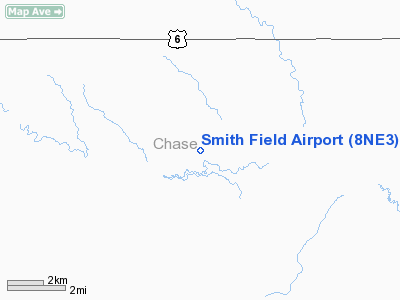
Location & QuickFacts
| FAA Information Effective: | 2008-09-25 |
| Airport Identifier: | 8NE3 |
| Airport Status: | Operational |
| Longitude/Latitude: | 101-48-46.6310W/40-28-54.9820N
-101.812953/40.481939 (Estimated) |
| Elevation: | 3380 ft / 1030.22 m (Estimated) |
| Land: | 0 acres |
| From nearest city: | 3 nautical miles W of Champion, NE |
| Location: | Chase County, NE |
| Magnetic Variation: | 10E (1985) |
Owner & Manager
| Ownership: | Privately owned |
| Owner: | Vilas Smith Land & Cattle Co |
| Address: | 32333- 736th Rd
Champion, NE 69023-2011 |
| Phone number: | 308-882-5900 |
| Manager: | Vilas Smith |
| Address: | 32333- 736th Rd
Champion, NE 69023-2011 |
| Phone number: | 308-882-5900 |
Airport Operations and Facilities
| Airport Use: | Private |
| Wind indicator: | Yes |
| Segmented Circle: | No |
| Control Tower: | No |
| Landing fee charge: | No |
| Sectional chart: | Cheyenne |
| Region: | ACE - Central |
| Boundary ARTCC: | ZDV - Denver |
| Tie-in FSS: | OLU - Columbus |
| FSS on Airport: | No |
| FSS Toll Free: | 1-800-WX-BRIEF |
Airport Services
Runway Information
Runway NW/SE
| Dimension: | 3300 x 60 ft / 1005.8 x 18.3 m |
| Surface: | GRAVEL, |
| |
Runway NW |
Runway SE |
| Traffic Pattern: | Left | Left |
|
Radio Navigation Aids
| ID |
Type |
Name |
Ch |
Freq |
Var |
Dist |
| IML | NDB | Imperial | | 283.00 | 09E | 8.7 nm |
| HEQ | NDB | Heginbotham | | 404.00 | 11E | 22.2 nm |
| GGF | NDB | Grant | | 359.00 | 09E | 23.7 nm |
| SYF | NDB | St Francis | | 386.00 | 10E | 45.4 nm |
| CNP | NDB | Chappell | | 383.00 | 10E | 46.3 nm |
| SAE | VOR/DME | Searle | 39X | 110.20 | 11E | 38.3 nm |
| HCT | VORTAC | Hayes Center | 124X | 117.70 | 11E | 40.7 nm |
Remarks
- PRVDD APCH TO EACH RWY MAINTD FOR MINIMUM 20:1 APCH RATIO AND TRSNL SFC MAINTD FOR 7:1.
Images and information placed above are from
http://www.airport-data.com/airport/8NE3/
We thank them for the data!
| General Info
|
| Country |
United States
|
| State |
NEBRASKA
|
| FAA ID |
8NE3
|
| Latitude |
40-28-54.982N
|
| Longitude |
101-48-46.631W
|
| Elevation |
3380 feet
|
| Near City |
CHAMPION
|
We don't guarantee the information is fresh and accurate. The data may
be wrong or outdated.
For more up-to-date information please refer to other sources.
|
|


