 |
|
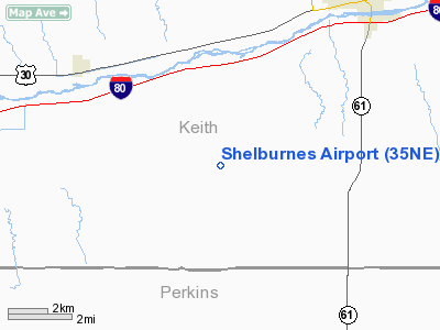
Location & QuickFacts
| FAA Information Effective: | 2008-09-25 |
| Airport Identifier: | 35NE |
| Airport Status: | Operational |
| Longitude/Latitude: | 101-48-16.6330W/41-02-59.9770N
-101.804620/41.049994 (Estimated) |
| Elevation: | 3475 ft / 1059.18 m (Estimated) |
| Land: | 24 acres |
| From nearest city: | 6 nautical miles SW of Ogallala, NE |
| Location: | Keith County, NE |
| Magnetic Variation: | 10E (1985) |
Owner & Manager
| Ownership: | Privately owned |
| Owner: | Rodger Shelburne |
| Address: | 451 Rd West D South
Ogallala, NE 69153 |
| Phone number: | 308-284-2569 |
| Manager: | Rodger Shelburne |
| Address: | 451 Rd West D South
Ogallala, NE 69153 |
| Phone number: | 308-284-2569 |
Airport Operations and Facilities
| Airport Use: | Private |
| Wind indicator: | Yes |
| Segmented Circle: | No |
| Control Tower: | No |
| Landing fee charge: | No |
| Sectional chart: | Cheyenne |
| Region: | ACE - Central |
| Boundary ARTCC: | ZDV - Denver |
| Tie-in FSS: | OLU - Columbus |
| FSS on Airport: | No |
| FSS Toll Free: | 1-800-WX-BRIEF |
Airport Services
| Fuel available: | 100LL |
| Airframe Repair: | NONE |
| Power Plant Repair: | NONE |
| Bottled Oxygen: | NONE |
| Bulk Oxygen: | NONE |
Runway Information
Runway 17/35
| Dimension: | 2800 x 125 ft / 853.4 x 38.1 m |
| Surface: | TURF, Good Condition |
| |
Runway 17 |
Runway 35 |
| Traffic Pattern: | Left | Left |
| Runway End Identifier: | No | No |
| Centerline Lights: | No | No |
| Touchdown Lights: | No | No |
| Obstruction: | 28 ft tree, 170.0 ft from runway, 40 ft right of centerline, 6:1 slope to clear | 15 ft road, 120.0 ft from runway, 8:1 slope to clear |
|
Radio Navigation Aids
| ID |
Type |
Name |
Ch |
Freq |
Var |
Dist |
| GGF | NDB | Grant | | 359.00 | 09E | 11.3 nm |
| CNP | NDB | Chappell | | 383.00 | 10E | 29.7 nm |
| OKS | NDB | Oshkosh | | 233.00 | 09E | 32.5 nm |
| IML | NDB | Imperial | | 283.00 | 09E | 33.4 nm |
| HEQ | NDB | Heginbotham | | 404.00 | 11E | 35.5 nm |
| SAE | VOR/DME | Searle | 39X | 110.20 | 11E | 4.4 nm |
| LBF | VORTAC | North Platte | 121X | 117.40 | 11E | 47.9 nm |
Remarks
- AG PLANES
- EXISTED PRIOR TO 1959.
Images and information placed above are from
http://www.airport-data.com/airport/35NE/
We thank them for the data!
| General Info
|
| Country |
United States
|
| State |
NEBRASKA
|
| FAA ID |
35NE
|
| Latitude |
41-02-59.977N
|
| Longitude |
101-48-16.633W
|
| Elevation |
3475 feet
|
| Near City |
OGALLALA
|
We don't guarantee the information is fresh and accurate. The data may
be wrong or outdated.
For more up-to-date information please refer to other sources.
|
|


