|
|
 |
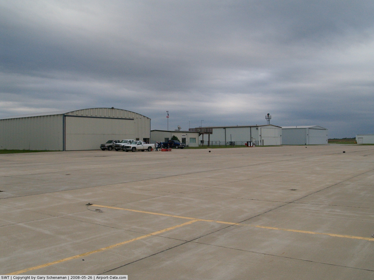
(Click on the photo to enlarge) |
 |
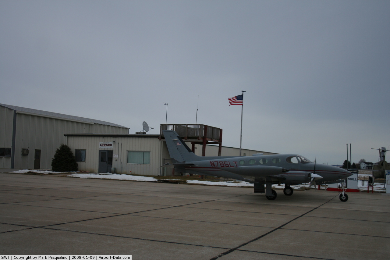
(Click on the photo to enlarge) |
Location & QuickFacts
| FAA Information Effective: | 2008-09-25 |
| Airport Identifier: | SWT |
| Airport Status: | Operational |
| Longitude/Latitude: | 097-06-33.2000W/40-51-53.0000N
-97.109222/40.864722 (Estimated) |
| Elevation: | 1506 ft / 459.03 m (Surveyed) |
| Land: | 336 acres |
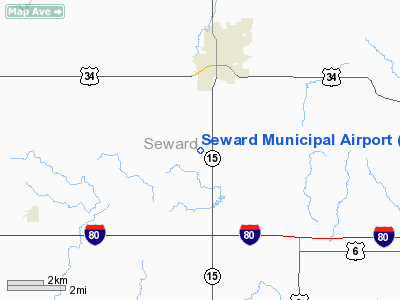
| From nearest city: | 3 nautical miles S of Seward, NE |
| Location: | Seward County, NE |
| Magnetic Variation: | 06E (2000) |
Owner & Manager
| Ownership: | Publicly owned |
| Owner: | Seward Airport Authority
SCOTT DEY, AIRPORT AUTHORITY CHAIRMAN |
| Address: | Box 278
Seward, NE 68434 |
| Phone number: | 402-643-2125 |
| Manager: | Greg Whisler |
| Address: | Rr2 Box 227
Seward, NE 68434 |
| Phone number: | 402-643-2125 |
Airport Operations and Facilities
| Airport Use: | Open to public |
| Wind indicator: | Yes |
| Segmented Circle: | Yes |
| Control Tower: | No |
| Lighting Schedule: | DUSK-DAWN
ACTVT MIRL RY 16/34; PAPI RYS 16 & 34; WINDSOCK - CTAF. |
| Beacon Color: | Clear-Green (lighted land airport) |
| Landing fee charge: | No |
| Sectional chart: | Omaha |
| Region: | ACE - Central |
| Boundary ARTCC: | ZMP - Minneapolis |
| Tie-in FSS: | OLU - Columbus |
| FSS on Airport: | No |
| FSS Toll Free: | 1-800-WX-BRIEF |
| NOTAMs Facility: | OLU (NOTAM-d service avaliable) |
| Federal Agreements: | NGY |
Airport Communications
| CTAF: | 122.800 |
| Unicom: | 122.800 |
Airport Services
| Fuel available: | 100LLA |
| Airframe Repair: | MAJOR |
| Power Plant Repair: | MAJOR |
| Bottled Oxygen: | NONE |
| Bulk Oxygen: | NONE |
Runway Information
Runway 04/22
| Dimension: | 3400 x 150 ft / 1036.3 x 45.7 m |
| Surface: | TURF, Good Condition |
| |
Runway 04 |
Runway 22 |
| Longitude: | 097-06-51.2620W | 097-06-18.8750W |
| Latitude: | 40-51-46.9000N | 40-52-09.7950N |
| Alignment: | 47 | 127 |
| Traffic Pattern: | Left | Left |
|
Runway 16/34
| Dimension: | 4200 x 75 ft / 1280.2 x 22.9 m |
| Surface: | CONC, Good Condition |
| Weight Limit: | Single wheel: 30000 lbs.
Dual wheel: 45000 lbs.
Dual tandem wheel: 90000 lbs. |
| Edge Lights: | Medium |
| |
Runway 16 |
Runway 34 |
| Longitude: | 097-06-34.4124W | 097-06-29.1150W |
| Latitude: | 40-52-09.3757N | 40-51-28.0751N |
| Elevation: | 1494.00 ft | 1505.00 ft |
| Alignment: | 127 | 127 |
| Traffic Pattern: | Left | Left |
| Markings: | Non-precision instrument, Good Condition | Non-precision instrument, Good Condition |
| VASI: | 2-light PAPI on left side | 2-light PAPI on left side |
| Obstruction: | , 34:1 slope to clear | 13 ft road, 730.0 ft from runway, 34:1 slope to clear |
|
Radio Navigation Aids
| ID |
Type |
Name |
Ch |
Freq |
Var |
Dist |
| SWT | NDB | Seward | | 269.00 | 06E | 0.2 nm |
| LN | NDB | Potts | | 385.00 | 06E | 17.3 nm |
| JYR | NDB | York | | 257.00 | 06E | 23.2 nm |
| FMZ | NDB | Beklof | | 392.00 | 07E | 26.6 nm |
| AHQ | NDB | Wahoo | | 400.00 | 07E | 32.3 nm |
| BJU | NDB | Big Blue | | 248.00 | 06E | 33.0 nm |
| HWB | NDB | Shaw | | 263.00 | 06E | 39.5 nm |
| PLT | NDB | Platte Center | | 407.00 | 08E | 39.9 nm |
| FBY | NDB | Fairbury | | 293.00 | 06E | 41.4 nm |
| FET | NDB | Fremont | | 311.00 | 06E | 44.2 nm |
| HJH | NDB | Hebron | | 323.00 | 06E | 48.2 nm |
| MLE | NDB | Millard | | 371.00 | 06E | 49.3 nm |
| BIE | VOR | Beatrice | | 110.60 | 07E | 37.5 nm |
| OLU | VOR/DME | Columbus | 055X | 111.80 | 08E | 36.7 nm |
| SCB | VOR/DME | Scribner | 47X | 111.00 | 06E | 49.5 nm |
| LNK | VORTAC | Lincoln | 108X | 116.10 | 09E | 17.1 nm |
Images and information placed above are from
http://www.airport-data.com/airport/SWT/
We thank them for the data!
| General Info
|
| Country |
United States
|
| State |
NEBRASKA
|
| FAA ID |
SWT
|
| Latitude |
40-51-54.929N
|
| Longitude |
097-06-33.527W
|
| Elevation |
1505 feet
|
| Near City |
SEWARD
|
We don't guarantee the information is fresh and accurate. The data may
be wrong or outdated.
For more up-to-date information please refer to other sources.
|
|