|
|
 |
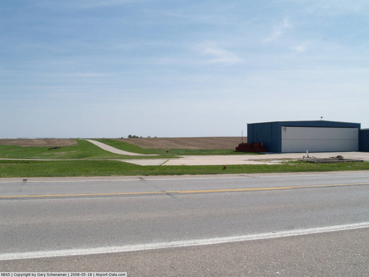
(Click on the photo to enlarge) |
 |
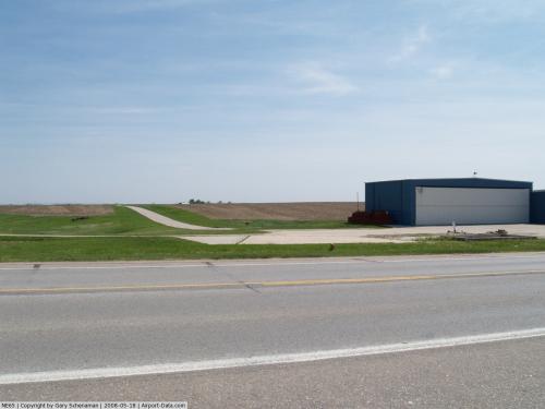
(Click on the photo to enlarge) |
Location & QuickFacts
| FAA Information Effective: | 2008-09-25 |
| Airport Identifier: | NE65 |
| Airport Status: | Operational |
| Longitude/Latitude: | 097-04-40.1250W/40-46-01.0230N
-97.077812/40.766951 (Estimated) |
| Elevation: | 1485 ft / 452.63 m (Estimated) |
| Land: | 0 acres |
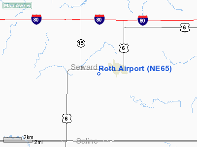
| From nearest city: | 1 nautical miles W of Milford, NE |
| Location: | Seward County, NE |
| Magnetic Variation: | 07E (1985) |
Owner & Manager
| Ownership: | Privately owned |
| Owner: | David A Roth |
| Address: | 2609 Pioneers Rd
Milford, NE 68405-8753 |
| Phone number: | 402-761-2671 |
| Manager: | David A Roth |
| Address: | 2609 Pioneers Rd
Milford, NE 68405-8753 |
| Phone number: | 402-761-2671 |
Airport Operations and Facilities
| Airport Use: | Private |
| Wind indicator: | Yes |
| Segmented Circle: | No |
| Control Tower: | No |
| Landing fee charge: | No |
| Sectional chart: | Omaha |
| Region: | ACE - Central |
| Boundary ARTCC: | ZMP - Minneapolis |
| Tie-in FSS: | OLU - Columbus |
| FSS on Airport: | No |
| FSS Toll Free: | 1-800-WX-BRIEF |
Airport Services
| Airframe Repair: | NONE |
| Power Plant Repair: | NONE |
Runway Information
Runway 18/36
| Dimension: | 2640 x 50 ft / 804.7 x 15.2 m |
| Surface: | ASPH, |
| |
Runway 18 |
Runway 36 |
| Traffic Pattern: | Left | Left |
|
Radio Navigation Aids
| ID |
Type |
Name |
Ch |
Freq |
Var |
Dist |
| SWT | NDB | Seward | | 269.00 | 06E | 5.9 nm |
| LN | NDB | Potts | | 385.00 | 06E | 14.4 nm |
| FMZ | NDB | Beklof | | 392.00 | 07E | 24.8 nm |
| JYR | NDB | York | | 257.00 | 06E | 25.7 nm |
| BJU | NDB | Big Blue | | 248.00 | 06E | 27.1 nm |
| HWB | NDB | Shaw | | 263.00 | 06E | 33.5 nm |
| FBY | NDB | Fairbury | | 293.00 | 06E | 35.7 nm |
| AHQ | NDB | Wahoo | | 400.00 | 07E | 35.8 nm |
| HJH | NDB | Hebron | | 323.00 | 06E | 43.8 nm |
| PLT | NDB | Platte Center | | 407.00 | 08E | 46.0 nm |
| FET | NDB | Fremont | | 311.00 | 06E | 48.3 nm |
| BIE | VOR | Beatrice | | 110.60 | 07E | 31.6 nm |
| OLU | VOR/DME | Columbus | 055X | 111.80 | 08E | 42.8 nm |
| LNK | VORTAC | Lincoln | 108X | 116.10 | 09E | 17.9 nm |
Images and information placed above are from
http://www.airport-data.com/airport/NE65/
We thank them for the data!
| General Info
|
| Country |
United States
|
| State |
NEBRASKA
|
| FAA ID |
NE65
|
| Latitude |
40-46-01.023N
|
| Longitude |
097-04-40.125W
|
| Elevation |
1485 feet
|
| Near City |
MILFORD
|
We don't guarantee the information is fresh and accurate. The data may
be wrong or outdated.
For more up-to-date information please refer to other sources.
|
|