 |
|
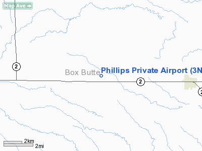
Location & QuickFacts
| FAA Information Effective: | 2008-09-25 |
| Airport Identifier: | 3NE2 |
| Airport Status: | Operational |
| Longitude/Latitude: | 103-11-36.7290W/42-19-39.8620N
-103.193536/42.327739 (Estimated) |
| Elevation: | 4370 ft / 1331.98 m (Estimated) |
| Land: | 0 acres |
| From nearest city: | 5 nautical miles W of Hemingford, NE |
| Location: | Box Butte County, NE |
| Magnetic Variation: | 11E (1985) |
Owner & Manager
| Ownership: | Privately owned |
| Address: |
|
| Manager: | Arlee Phillips |
| Address: | 7600 Dodge Rd
Hemingford, NE 69348 |
| Phone number: | 308-487-3876 |
Airport Operations and Facilities
| Airport Use: | Private |
| Wind indicator: | No |
| Segmented Circle: | No |
| Control Tower: | No |
| Landing fee charge: | No |
| Sectional chart: | Cheyenne |
| Region: | ACE - Central |
| Boundary ARTCC: | ZDV - Denver |
| Tie-in FSS: | OLU - Columbus |
| FSS on Airport: | No |
| FSS Toll Free: | 1-800-WX-BRIEF |
Airport Services
| Airframe Repair: | NONE |
| Power Plant Repair: | NONE |
Runway Information
Runway E/W
| Dimension: | 900 x 150 ft / 274.3 x 45.7 m |
| Surface: | TURF, |
| |
Runway E |
Runway W |
| Traffic Pattern: | Right | Left |
|
Runway N/S
| Dimension: | 3200 x 100 ft / 975.4 x 30.5 m |
| Surface: | TURF, |
| |
Runway N |
Runway S |
| Traffic Pattern: | Left | Left |
| Obstruction: | 60 ft pline | |
|
Radio Navigation Aids
| ID |
Type |
Name |
Ch |
Freq |
Var |
Dist |
| ALU | NDB | Alliance | | 380.00 | 11E | 24.5 nm |
| HIN | NDB | Whitney | | 275.00 | 11E | 30.4 nm |
| GIG | NDB | Gering | | 341.00 | 11E | 31.7 nm |
| TOR | NDB | Torrington | | 293.00 | 11E | 45.5 nm |
| CDR | VOR/DME | Chadron | 081X | 113.40 | 13E | 14.9 nm |
| AIA | VOR/DME | Alliance | 055X | 111.80 | 11E | 23.8 nm |
| BFF | VORTAC | Scottsbluff | 073X | 112.60 | 13E | 29.1 nm |
Remarks
Images and information placed above are from
http://www.airport-data.com/airport/3NE2/
We thank them for the data!
| General Info
|
| Country |
United States
|
| State |
NEBRASKA
|
| FAA ID |
3NE2
|
| Latitude |
42-19-39.862N
|
| Longitude |
103-11-36.729W
|
| Elevation |
4370 feet
|
| Near City |
HEMINGFORD
|
We don't guarantee the information is fresh and accurate. The data may
be wrong or outdated.
For more up-to-date information please refer to other sources.
|
|


