|
|
 |
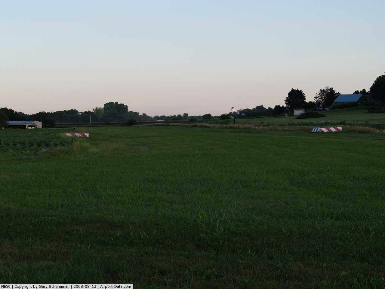
(Click on the photo to enlarge) |
 |
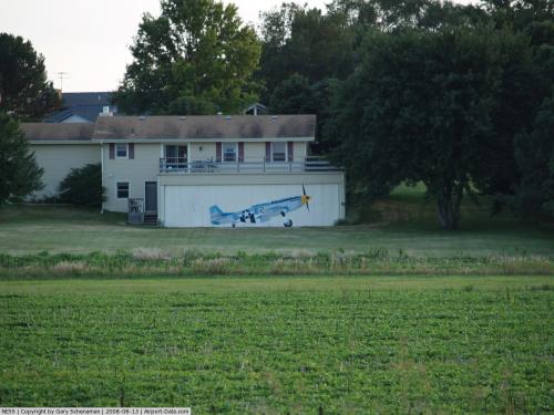
(Click on the photo to enlarge) |
Location & QuickFacts
| FAA Information Effective: | 2008-09-25 |
| Airport Identifier: | NE59 |
| Airport Status: | Operational |
| Longitude/Latitude: | 096-34-01.0420W/40-49-59.9990N
-96.566956/40.833333 (Estimated) |
| Elevation: | 1150 ft / 350.52 m (Estimated) |
| Land: | 0 acres |
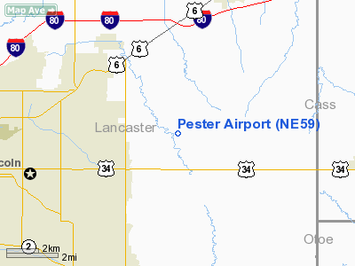
| From nearest city: | 2 nautical miles E of Lincoln, NE |
| Location: | Lancaster County, NE |
| Magnetic Variation: | 06E (1985) |
Owner & Manager
| Ownership: | Privately owned |
| Owner: | Ms Boyd Pester & Lee Pester |
| Address: | Rt 13
Lincoln, NE 68527 |
| Phone number: | 402-464-3195 |
| Manager: | Ms Boyd Pester & Lee Pester |
| Address: | Rt 13
Lincoln, NE 68527 |
Airport Operations and Facilities
| Airport Use: | Private |
| Wind indicator: | Yes |
| Segmented Circle: | No |
| Control Tower: | No |
| Landing fee charge: | Yes |
| Sectional chart: | Omaha |
| Region: | ACE - Central |
| Boundary ARTCC: | ZMP - Minneapolis |
| Tie-in FSS: | OLU - Columbus |
| FSS on Airport: | No |
| FSS Toll Free: | 1-800-WX-BRIEF |
Airport Services
| Fuel available: | 100 |
| Airframe Repair: | NONE |
| Power Plant Repair: | NONE |
Runway Information
Runway NW/SE
| Dimension: | 1680 x 70 ft / 512.1 x 21.3 m |
| Surface: | TURF, |
| |
Runway NW |
Runway SE |
| Traffic Pattern: | Left | Left |
|
Radio Navigation Aids
| ID |
Type |
Name |
Ch |
Freq |
Var |
Dist |
| LN | NDB | Potts | | 385.00 | 06E | 10.3 nm |
| AHQ | NDB | Wahoo | | 400.00 | 07E | 24.4 nm |
| SWT | NDB | Seward | | 269.00 | 06E | 24.8 nm |
| MLE | NDB | Millard | | 371.00 | 06E | 29.9 nm |
| BJU | NDB | Big Blue | | 248.00 | 06E | 30.4 nm |
| PMV | NDB | Plattsmouth | | 329.00 | 06E | 30.5 nm |
| AFK | NDB | Nebraska City | | 347.00 | 05E | 35.0 nm |
| HWB | NDB | Shaw | | 263.00 | 06E | 35.2 nm |
| FET | NDB | Fremont | | 311.00 | 06E | 37.2 nm |
| AYB | NDB | Auburn | | 430.00 | 05E | 42.2 nm |
| OM | NDB | Gerfi | | 320.00 | 05E | 42.3 nm |
| JYR | NDB | York | | 257.00 | 06E | 47.9 nm |
| FMZ | NDB | Beklof | | 392.00 | 07E | 47.9 nm |
| FBY | NDB | Fairbury | | 293.00 | 06E | 48.0 nm |
| OFF | TACAN | Offutt | 054X | | 05E | 34.7 nm |
| BIE | VOR | Beatrice | | 110.60 | 07E | 33.1 nm |
| SCB | VOR/DME | Scribner | 47X | 111.00 | 06E | 46.5 nm |
| LNK | VORTAC | Lincoln | 108X | 116.10 | 09E | 9.6 nm |
| PWE | VORTAC | Pawnee City | 071X | 112.40 | 05E | 41.5 nm |
| OVR | VORTAC | Omaha | 110X | 116.30 | 08E | 42.7 nm |
| OMA | VOT | Omaha | | 109.00 | | 41.5 nm |
Remarks
Images and information placed above are from
http://www.airport-data.com/airport/NE59/
We thank them for the data!
| General Info
|
| Country |
United States
|
| State |
NEBRASKA
|
| FAA ID |
NE59
|
| Latitude |
40-49-59.999N
|
| Longitude |
096-34-01.042W
|
| Elevation |
1150 feet
|
| Near City |
LINCOLN
|
We don't guarantee the information is fresh and accurate. The data may
be wrong or outdated.
For more up-to-date information please refer to other sources.
|
|