 |
|
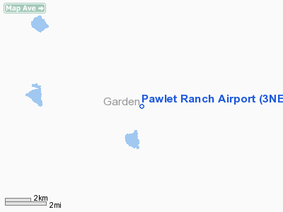
Location & QuickFacts
| FAA Information Effective: | 2008-09-25 |
| Airport Identifier: | 3NE7 |
| Airport Status: | Operational |
| Longitude/Latitude: | 102-20-33.6920W/41-49-44.9270N
-102.342692/41.829146 (Estimated) |
| Elevation: | 3850 ft / 1173.48 m (Estimated) |
| Land: | 0 acres |
| From nearest city: | 14 nautical miles SE of Lakeside, NE |
| Location: | Garden County, NE |
| Magnetic Variation: | 10E (1985) |
Owner & Manager
| Ownership: | Privately owned |
| Owner: | E V Eldred |
| Address: | Pawlet Ranch Hc 68 Box 28
Lakeside, NE 69351 |
| Phone number: | 308-762-2888 |
| Manager: | E V Eldred |
| Address: | Pawlwt Ranch Hc 68 Box 28
Lakeside, NE 69351 |
Airport Operations and Facilities
| Airport Use: | Private |
| Wind indicator: | Yes |
| Segmented Circle: | No |
| Control Tower: | No |
| Landing fee charge: | No |
| Sectional chart: | Cheyenne |
| Region: | ACE - Central |
| Boundary ARTCC: | ZDV - Denver |
| Tie-in FSS: | OLU - Columbus |
| FSS on Airport: | No |
| FSS Toll Free: | 1-800-WX-BRIEF |
Airport Services
Runway Information
Runway N/S
| Dimension: | 2800 x 45 ft / 853.4 x 13.7 m |
| Surface: | TURF, |
| |
Runway N |
Runway S |
| Traffic Pattern: | Left | Left |
|
Radio Navigation Aids
| ID |
Type |
Name |
Ch |
Freq |
Var |
Dist |
| ALU | NDB | Alliance | | 380.00 | 11E | 24.1 nm |
| OKS | NDB | Oshkosh | | 233.00 | 09E | 25.7 nm |
| CNP | NDB | Chappell | | 383.00 | 10E | 45.5 nm |
| AIA | VOR/DME | Alliance | 055X | 111.80 | 11E | 24.7 nm |
| SAE | VOR/DME | Searle | 39X | 110.20 | 11E | 49.7 nm |
Remarks
Images and information placed above are from
http://www.airport-data.com/airport/3NE7/
We thank them for the data!
| General Info
|
| Country |
United States
|
| State |
NEBRASKA
|
| FAA ID |
3NE7
|
| Latitude |
41-49-44.927N
|
| Longitude |
102-20-33.692W
|
| Elevation |
3850 feet
|
| Near City |
LAKESIDE
|
We don't guarantee the information is fresh and accurate. The data may
be wrong or outdated.
For more up-to-date information please refer to other sources.
|
|


