 |
|
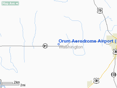
Location & QuickFacts
| FAA Information Effective: | 2008-09-25 |
| Airport Identifier: | 86NE |
| Airport Status: | Operational |
| Longitude/Latitude: | 096-16-26.0680W/41-32-29.9800N
-96.273908/41.541661 (Estimated) |
| Elevation: | 1320 ft / 402.34 m (Estimated) |
| Land: | 0 acres |
| From nearest city: | 6 nautical miles W of Blair, NE |
| Location: | Washington County, NE |
| Magnetic Variation: | 06E (1985) |
Owner & Manager
| Ownership: | Privately owned |
| Owner: | Howard L. Taylor |
| Address: | 11493 Co Rd 19
Blair, NE 68008 |
| Phone number: | 402-426-4327 |
| Manager: | Howard L. Taylor |
| Address: | 11493 Co Rd 19
Blair, NE 68008 |
| Phone number: | 402-426-4327 |
Airport Operations and Facilities
| Airport Use: | Private |
| Wind indicator: | Yes |
| Segmented Circle: | No |
| Control Tower: | No |
| Sectional chart: | Omaha |
| Region: | ACE - Central |
| Boundary ARTCC: | ZMP - Minneapolis |
| Tie-in FSS: | OLU - Columbus |
| FSS Toll Free: | 1-800-WX-BRIEF |
Runway Information
Runway 17/35
| Dimension: | 2200 x 65 ft / 670.6 x 19.8 m |
| Surface: | TURF, |
| |
Runway 17 |
Runway 35 |
| Traffic Pattern: | Left | Left |
| Obstruction: | 20 ft trees, 300.0 ft from runway | 25 ft pline, 150.0 ft from runway |
|
Radio Navigation Aids
| ID |
Type |
Name |
Ch |
Freq |
Var |
Dist |
| FET | NDB | Fremont | | 311.00 | 06E | 12.3 nm |
| OM | NDB | Gerfi | | 320.00 | 05E | 17.7 nm |
| MLE | NDB | Millard | | 371.00 | 06E | 22.1 nm |
| AHQ | NDB | Wahoo | | 400.00 | 07E | 23.3 nm |
| PMV | NDB | Plattsmouth | | 329.00 | 06E | 39.5 nm |
| HNR | NDB | Harlan | | 272.00 | 05E | 42.0 nm |
| MEY | NDB | Mapleton | | 335.00 | 05E | 44.0 nm |
| SU | NDB | Salix | | 414.00 | 07E | 47.2 nm |
| DNS | NDB | Denison | | 350.00 | 04E | 48.1 nm |
| PLT | NDB | Platte Center | | 407.00 | 08E | 49.9 nm |
| OFF | TACAN | Offutt | 054X | | 05E | 30.6 nm |
| TQE | VOR | Tekamah | | 108.40 | 07E | 13.8 nm |
| SCB | VOR/DME | Scribner | 47X | 111.00 | 06E | 16.4 nm |
| OLU | VOR/DME | Columbus | 055X | 111.80 | 08E | 48.3 nm |
| OVR | VORTAC | Omaha | 110X | 116.30 | 08E | 33.1 nm |
| LNK | VORTAC | Lincoln | 108X | 116.10 | 09E | 42.7 nm |
| SUX | VORTAC | Sioux City | 112X | 116.50 | 09E | 48.3 nm |
| OMA | VOT | Omaha | | 109.00 | | 22.9 nm |
Remarks
- PPR TO LAND - CALL 402-426-4327.
- PROVIDED APPROACHES ARE MAINTAINED FOR A MINIMUM 20:1 GLIDE SLOPE, TRANSITIONAL SURFACES FOR A 7:1 SLOPE.
Images and information placed above are from
http://www.airport-data.com/airport/86NE/
We thank them for the data!
| General Info
|
| Country |
United States
|
| State |
NEBRASKA
|
| FAA ID |
86NE
|
| Latitude |
41-32-29.980N
|
| Longitude |
096-16-26.068W
|
| Elevation |
1320 feet
|
| Near City |
BLAIR
|
We don't guarantee the information is fresh and accurate. The data may
be wrong or outdated.
For more up-to-date information please refer to other sources.
|
|


