 |
|
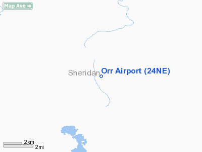
Location & QuickFacts
| FAA Information Effective: | 2008-09-25 |
| Airport Identifier: | 24NE |
| Airport Status: | Operational |
| Longitude/Latitude: | 102-26-19.7100W/42-23-01.9050N
-102.438808/42.383862 (Estimated) |
| Elevation: | 3827 ft / 1166.47 m (Surveyed) |
| Land: | 0 acres |
| From nearest city: | 20 nautical miles N of Lakeside, NE |
| Location: | Sheridan County, NE |
| Magnetic Variation: | 10E (1985) |
Owner & Manager
| Ownership: | Privately owned |
| Owner: | Leo E Orr |
| Address: | Box 15
Lakeside, NE 69351 |
| Phone number: | 308-327-2886 |
| Address: |
|
Airport Operations and Facilities
| Airport Use: | Private |
| Wind indicator: | Yes |
| Segmented Circle: | No |
| Control Tower: | No |
| Landing fee charge: | No |
| Sectional chart: | Cheyenne |
| Region: | ACE - Central |
| Boundary ARTCC: | ZDV - Denver |
| Tie-in FSS: | OLU - Columbus |
| FSS on Airport: | No |
| FSS Toll Free: | 1-800-WX-BRIEF |
Runway Information
Runway 09/27
| Dimension: | 1500 x 50 ft / 457.2 x 15.2 m |
| Surface: | TURF,
ASPH 10' WIDE WITH 5' TURF EACH SIDE. |
| |
Runway 09 |
Runway 27 |
| Traffic Pattern: | Left | Left |
|
Runway 15/33
| Dimension: | 2300 x 20 ft / 701.0 x 6.1 m |
| Surface: | ASPH-TURF,
ASPH 10' WIDE WITH 5' TURF EACH SIDE. |
| |
Runway 15 |
Runway 33 |
| Traffic Pattern: | Left | Left |
|
Radio Navigation Aids
| ID |
Type |
Name |
Ch |
Freq |
Var |
Dist |
| ALU | NDB | Alliance | | 380.00 | 11E | 26.0 nm |
| GRN | NDB | Gordon | | 414.00 | 09E | 27.6 nm |
| HIN | NDB | Whitney | | 275.00 | 11E | 39.4 nm |
| AIA | VOR/DME | Alliance | 055X | 111.80 | 11E | 25.6 nm |
| CDR | VOR/DME | Chadron | 081X | 113.40 | 13E | 40.1 nm |
Remarks
- OWNER DESIRES ARPT NOT BE CHARTED.
- UNCONTROLLED AIR TFC & UNCONTROLLED GND TFC IS INCOMPATIBLE WHEN USING SAME SPACE; I.E., COUNTY ROAD; PERSONAL RISK FOR ARPT OWNER.
Images and information placed above are from
http://www.airport-data.com/airport/24NE/
We thank them for the data!
| General Info
|
| Country |
United States
|
| State |
NEBRASKA
|
| FAA ID |
24NE
|
| Latitude |
42-23-01.905N
|
| Longitude |
102-26-19.710W
|
| Elevation |
3827 feet
|
| Near City |
LAKESIDE
|
We don't guarantee the information is fresh and accurate. The data may
be wrong or outdated.
For more up-to-date information please refer to other sources.
|
|


