 |
|
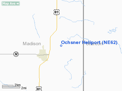
Location & QuickFacts
| FAA Information Effective: | 2008-09-25 |
| Airport Identifier: | NE62 |
| Airport Status: | Operational |
| Longitude/Latitude: | 097-25-01.1700W/41-50-37.0240N
-97.416992/41.843618 (Estimated) |
| Elevation: | 1630 ft / 496.82 m (Estimated) |
| Land: | 0 acres |
| From nearest city: | 2 nautical miles NE of Madison, NE |
| Location: | Madison County, NE |
| Magnetic Variation: | 07E (1985) |
Owner & Manager
| Ownership: | Privately owned |
| Owner: | Morris Ochsner |
| Address: | 55510- 829th Road
Madison, NE 68748-6524 |
| Phone number: | 402-454-3356 |
| Manager: | Morris Ochsner |
| Address: | 55510- 829th Road
Madison, NE 68748-6524 |
| Phone number: | 402-454-3356 |
Airport Operations and Facilities
| Airport Use: | Private |
| Wind indicator: | Yes |
| Segmented Circle: | No |
| Control Tower: | No |
| Landing fee charge: | No |
| Sectional chart: | Omaha |
| Region: | ACE - Central |
| Boundary ARTCC: | ZMP - Minneapolis |
| Tie-in FSS: | OLU - Columbus |
| FSS on Airport: | No |
| FSS Toll Free: | 1-800-WX-BRIEF |
Airport Services
| Airframe Repair: | NONE |
| Power Plant Repair: | NONE |
Runway Information
Helipad H1
| Dimension: | 200 x 200 ft / 61.0 x 61.0 m |
| Surface: | TURF, |
| |
Runway H1 |
Runway |
| Traffic Pattern: | Left | Left |
|
Radio Navigation Aids
| ID |
Type |
Name |
Ch |
Freq |
Var |
Dist |
| OF | NDB | Carsy | | 510.00 | 08E | 3.9 nm |
| PLT | NDB | Platte Center | | 407.00 | 08E | 20.9 nm |
| BVN | NDB | Alaby | | 332.00 | 06E | 29.3 nm |
| LCG | NDB | Wayne | | 389.00 | 06E | 30.8 nm |
| FET | NDB | Fremont | | 311.00 | 06E | 46.8 nm |
| OFK | VOR/DME | Norfolk | 033X | 109.60 | 08E | 8.7 nm |
| OLU | VOR/DME | Columbus | 055X | 111.80 | 08E | 23.9 nm |
| SCB | VOR/DME | Scribner | 47X | 111.00 | 06E | 38.2 nm |
Images and information placed above are from
http://www.airport-data.com/airport/NE62/
We thank them for the data!
| General Info
|
| Country |
United States
|
| State |
NEBRASKA
|
| FAA ID |
NE62
|
| Latitude |
41-50-37.024N
|
| Longitude |
097-25-01.170W
|
| Elevation |
1630 feet
|
| Near City |
MADISON
|
We don't guarantee the information is fresh and accurate. The data may
be wrong or outdated.
For more up-to-date information please refer to other sources.
|
|


