 |
|
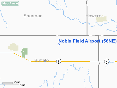
Location & QuickFacts
| FAA Information Effective: | 2008-09-25 |
| Airport Identifier: | 56NE |
| Airport Status: | Operational |
| Longitude/Latitude: | 098-48-43.2850W/41-01-58.0450N
-98.812024/41.032790 (Estimated) |
| Elevation: | 1967 ft / 599.54 m (Estimated) |
| Land: | 10 acres |
| From nearest city: | 5 nautical miles E of Ravenna, NE |
| Location: | Buffalo County, NE |
| Magnetic Variation: | 08E (1985) |
Owner & Manager
| Ownership: | Privately owned |
| Owner: | Noble Saunders |
| Address: | Rr 3
Ravenna, NE 68869 |
| Phone number: | 308-452-4197 |
| Manager: | Noble Saunders |
| Address: | Rr 3
Ravenna, NE 68869 |
| Phone number: | 308-452-4197 |
Airport Operations and Facilities
| Airport Use: | Private |
| Wind indicator: | Yes |
| Segmented Circle: | No |
| Control Tower: | No |
| Landing fee charge: | No |
| Sectional chart: | Omaha |
| Region: | ACE - Central |
| Boundary ARTCC: | ZMP - Minneapolis |
| Tie-in FSS: | OLU - Columbus |
| FSS on Airport: | No |
| FSS Toll Free: | 1-800-WX-BRIEF |
Airport Services
Runway Information
Runway 08/26
| Dimension: | 2600 x 150 ft / 792.5 x 45.7 m |
| Surface: | TURF, |
| |
Runway 08 |
Runway 26 |
| Traffic Pattern: | Left | Left |
|
Radio Navigation Aids
| ID |
Type |
Name |
Ch |
Freq |
Var |
Dist |
| PSS | NDB | Prosser | | 338.00 | 07E | 25.8 nm |
| ODX | NDB | Ord | | 356.00 | 07E | 36.0 nm |
| HDE | NDB | Holdrege | | 396.00 | 07E | 42.6 nm |
| BBW | NDB | Broken Bow | | 265.00 | 08E | 44.4 nm |
| BUB | NDB | Burwell | | 377.00 | 07E | 47.1 nm |
| RRX | NDB | Darr | | 326.00 | 07E | 48.7 nm |
| EAR | VOR | Kearney | | 111.20 | 10E | 20.4 nm |
| HSI | VOR/DME | Hastings | 025X | 108.80 | 07E | 31.1 nm |
| CUZ | VOR/DME | Custer County | 19X | 108.20 | 08E | 48.0 nm |
| GRI | VORTAC | Grand Island | 057X | 112.00 | 07E | 22.7 nm |
| OBH | VORTAC | Wolbach | 095X | 114.80 | 07E | 29.2 nm |
Remarks
- OWNER DESIRES CHARTING
- CONDL-PROVIDED THE APPROACH TO EACH RWY IS MAINTAINED FOR MIN 20:1 GLIDE SLOPE AND THE TRANSITIONAL SURFACE BE MAINTAINED FOR A 7:1 SLOPE.
Images and information placed above are from
http://www.airport-data.com/airport/56NE/
We thank them for the data!
| General Info
|
| Country |
United States
|
| State |
NEBRASKA
|
| FAA ID |
56NE
|
| Latitude |
41-01-58.045N
|
| Longitude |
098-48-43.285W
|
| Elevation |
1967 feet
|
| Near City |
RAVENNA
|
We don't guarantee the information is fresh and accurate. The data may
be wrong or outdated.
For more up-to-date information please refer to other sources.
|
|


