|
|
Nebraska City Muni Airport |
Coordinates: 40°36′20″N 095°52′04″W / 40.60556°N 95.86778°W / 40.60556; -95.86778
| Nebraska City Municipal Airport |
| IATA: none – ICAO: KAFK – FAA LID: AFK |
| Summary |
| Airport type |
Public |
| Owner |
Nebraska City Airport Authority |
| Serves |
Nebraska City, Nebraska |
| Elevation AMSL |
1,165 ft / 355 m |
| Runways |
| Direction |
Length |
Surface |
| ft |
m |
| 15/33 |
4,500 |
1,372 |
Concrete |
| 5/23 |
2,550 |
777 |
Turf |
| Statistics (2005) |
| Aircraft operations |
5,300 |
| Source: Federal Aviation Administration |
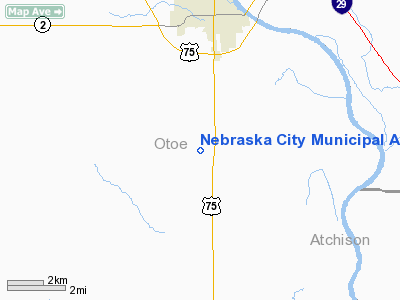
Nebraska City Municipal Airport (ICAO: KAFK, FAA LID: AFK) is a public airport located four miles (6 km) south of the central business district of Nebraska City, in Otoe County, Nebraska, United States. It is owned by the Nebraska City Airport Authority.
The airport was constructed as a replacement for Grundman Field and opened in 1994. Located inside the city limits Grundman Field could not lengthen the runway to accommodate business jets. In 1974 when then Mayor A. O. Gigstard created the airport authority to build Nebraska City Municipal the voters had him recalled and removed from office. He returned as Mayor in 1980 as a write-in candidate. Later the new airport was approved by the voters as a bond measure.
Although most U.S. airports use the same three-letter location identifier for the FAA and IATA, Nebraska City Municipal is assigned AFK by the FAA but has no designation from the IATA.
Facilities and aircraft
Nebraska City Municipal Airport covers an area of 215 acres (87 ha) which contains two runways: 15/33 with a concrete pavement measuring 4,500 x 75 ft (1,372 x 23 m) and 5/23 with a turf surface measuring 2,550 x 150 ft (777 x 46 m). For the 12-month period ending July 7, 2005, the airport had 5,300 aircraft operations, an average of 14 per day: 93% general aviation and 7% military.
The above content comes from Wikipedia and is published under free licenses – click here to read more.
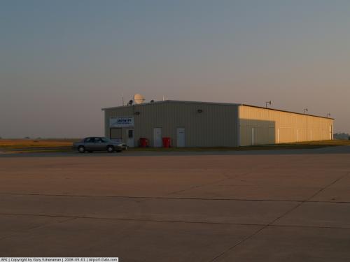 |
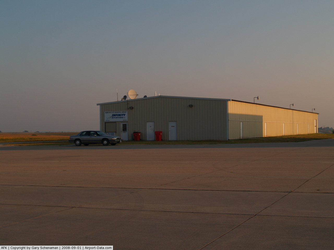
(Click on the photo to enlarge) |
 |
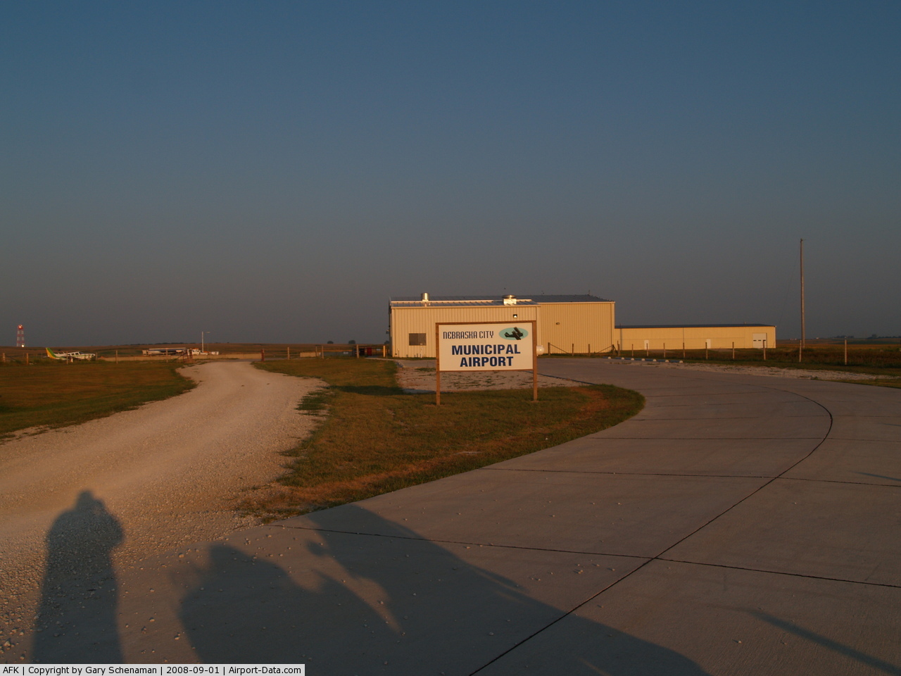
(Click on the photo to enlarge) |
Location & QuickFacts
| FAA Information Effective: | 2008-09-25 |
| Airport Identifier: | AFK |
| Airport Status: | Operational |
| Longitude/Latitude: | 095-52-03.9000W/40-36-19.6000N
-95.867750/40.605444 (Estimated) |
| Elevation: | 1165 ft / 355.09 m (Surveyed) |
| Land: | 215 acres |
| From nearest city: | 4 nautical miles S of Nebraska City, NE |
| Location: | Otoe County, NE |
| Magnetic Variation: | 05E (1995) |
Owner & Manager
| Ownership: | Publicly owned |
| Owner: | Nebraska City Airport Authority
STEVE STEHLIK, AIRPORT AUTHORITY CHARIMAN, PHONE 402-873-6638. |
| Address: | Po Box 23
Nebraska City, NE 68410-0023 |
| Phone number: | 402-873-6638
AIRPORT ATTORNEY PHONE. |
| Manager: | James Allen |
| Address: | 972 S. 64th Road
Nebraska City, NE 68410-6805 |
| Phone number: | 402-873-6646 |
Airport Operations and Facilities
| Airport Use: | Open to public |
| Wind indicator: | Yes |
| Segmented Circle: | Yes |
| Control Tower: | No |
| Lighting Schedule: | DUSK-DAWN
ACTVT MIRL RY 15/33 & PAPI RYS 15 & 33 - CTAF. |
| Beacon Color: | Clear-Green (lighted land airport) |
| Sectional chart: | Omaha |
| Region: | ACE - Central |
| Boundary ARTCC: | ZMP - Minneapolis |
| Tie-in FSS: | OLU - Columbus |
| FSS on Airport: | No |
| FSS Toll Free: | 1-800-WX-BRIEF |
| NOTAMs Facility: | AFK (NOTAM-d service avaliable) |
| Federal Agreements: | NGY |
Airport Communications
| CTAF: | 122.700 |
| Unicom: | 122.700 |
Airport Services
| Fuel available: | 100LLA
FOR FUEL CALL 402-873-7116. |
| Airframe Repair: | MINOR |
| Power Plant Repair: | MINOR |
Runway Information
Runway 05/23
| Dimension: | 2550 x 150 ft / 777.2 x 45.7 m |
| Surface: | TURF, Good Condition |
| |
Runway 05 |
Runway 23 |
| Longitude: | 095-52-17.3000W | 095-51-52.8000W |
| Latitude: | 40-36-11.9000N | 40-36-28.9000N |
| Elevation: | 1165.00 ft | 1160.00 ft |
| Traffic Pattern: | Left | Left |
|
Runway 15/33
| Dimension: | 4500 x 75 ft / 1371.6 x 22.9 m |
| Surface: | CONC, Good Condition |
| Weight Limit: | Single wheel: 30000 lbs. |
| Edge Lights: | Medium |
| |
Runway 15 |
Runway 33 |
| Longitude: | 095-52-10.4413W | 095-51-42.5823W |
| Latitude: | 40-36-44.3364N | 40-36-05.2616N |
| Elevation: | 1156.00 ft | 1157.00 ft |
| Alignment: | 127 | 127 |
| Traffic Pattern: | Left | Left |
| Markings: | Non-precision instrument, Good Condition | Non-precision instrument, Good Condition |
| Crossing Height: | 52.00 ft | 52.00 ft |
| VASI: | 2-light PAPI on left side | 2-light PAPI on left side |
| Visual Glide Angle: | 3.00° | 3.00° |
|
Radio Navigation Aids
| ID |
Type |
Name |
Ch |
Freq |
Var |
Dist |
| AFK | NDB | Nebraska City | | 347.00 | 05E | 0.3 nm |
| AYB | NDB | Auburn | | 430.00 | 05E | 10.6 nm |
| PMV | NDB | Plattsmouth | | 329.00 | 06E | 20.4 nm |
| SDA | NDB | Shenandoah | | 411.00 | 05E | 22.7 nm |
| FNB | NDB | Brenner | | 404.00 | 05E | 34.3 nm |
| MLE | NDB | Millard | | 371.00 | 06E | 37.2 nm |
| RDK | NDB | Red Oak | | 230.00 | 04E | 37.3 nm |
| ICL | NDB | Clarinda | | 353.00 | 04E | 39.0 nm |
| LN | NDB | Potts | | 385.00 | 06E | 41.7 nm |
| HWB | NDB | Shaw | | 263.00 | 06E | 45.5 nm |
| BJU | NDB | Big Blue | | 248.00 | 06E | 45.6 nm |
| OM | NDB | Gerfi | | 320.00 | 05E | 45.9 nm |
| EVU | NDB | Emville | | 317.00 | 05E | 46.2 nm |
| OFF | TACAN | Offutt | 054X | | 05E | 30.8 nm |
| BIE | VOR | Beatrice | | 110.60 | 07E | 44.5 nm |
| RBA | VOR/DME | Robinson | 019X | 108.20 | 04E | 49.7 nm |
| PWE | VORTAC | Pawnee City | 071X | 112.40 | 05E | 28.9 nm |
| OVR | VORTAC | Omaha | 110X | 116.30 | 08E | 34.3 nm |
| LNK | VORTAC | Lincoln | 108X | 116.10 | 09E | 44.2 nm |
| OMA | VOT | Omaha | | 109.00 | | 41.5 nm |
Remarks
- FOR SVC/INFORMATION CALL (402) 873-7116.
- PROVIDED NEBRASKA CITY ARPT AUTHORITY NEGOTIATES LOA WITH OWNER OF GRESS ARPT FOR TRAFFIC PATTERN AIRSPACE.
Images and information placed above are from
http://www.airport-data.com/airport/AFK/
We thank them for the data!
| General Info
|
| Country |
United States
|
| State |
NEBRASKA
|
| FAA ID |
AFK
|
| Latitude |
40-36-24.800N
|
| Longitude |
095-51-56.500W
|
| Elevation |
1162 feet
|
| Near City |
NEBRASKA CITY
|
We don't guarantee the information is fresh and accurate. The data may
be wrong or outdated.
For more up-to-date information please refer to other sources.
|
|