 |
|
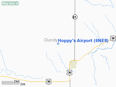
Location & QuickFacts
| FAA Information Effective: | 2008-09-25 |
| Airport Identifier: | 6NE8 |
| Airport Status: | Operational |
| Longitude/Latitude: | 101-34-07.6020W/40-05-12.9790N
-101.568778/40.086939 (Estimated) |
| Elevation: | 3227 ft / 983.59 m (Surveyed) |
| Land: | 0 acres |
| From nearest city: | 3 nautical miles NW of Benkelman, NE |
| Location: | Dundy County, NE |
| Magnetic Variation: | 09E (1985) |
Owner & Manager
| Ownership: | Privately owned |
| Owner: | Randall J. Raile
RENCHCO-YEAR ROUND-PRIVATE USE. |
| Address: | P.o. Box 527
Benkelman, NE 69021 |
| Phone number: | 308-423-2999 |
| Manager: | Randall J. Raile |
| Address: |
Benkelman, NE 69021 |
| Phone number: | 308-423-2999 |
Airport Operations and Facilities
| Airport Use: | Private |
| Wind indicator: | Yes |
| Segmented Circle: | No |
| Control Tower: | No |
| Landing fee charge: | No |
| Sectional chart: | Omaha |
| Region: | ACE - Central |
| Boundary ARTCC: | ZDV - Denver |
| Tie-in FSS: | OLU - Columbus |
| FSS on Airport: | No |
| FSS Toll Free: | 1-800-WX-BRIEF |
Runway Information
Runway 15/33
| Dimension: | 2600 x 100 ft / 792.5 x 30.5 m |
| Surface: | TURF, |
| |
Runway 15 |
Runway 33 |
| Traffic Pattern: | Right | Left |
|
Radio Navigation Aids
| ID |
Type |
Name |
Ch |
Freq |
Var |
Dist |
| MCK | FAN MARKER | Mc Cook | | | 11E | 47.4 nm |
| SYF | NDB | St Francis | | 386.00 | 10E | 23.5 nm |
| IML | NDB | Imperial | | 283.00 | 09E | 25.7 nm |
| ADT | NDB | Atwood | | 365.00 | 09E | 28.4 nm |
| JDM | NDB | Wheatfield | | 408.00 | 08E | 42.2 nm |
| HEQ | NDB | Heginbotham | | 404.00 | 11E | 44.1 nm |
| GL | NDB | Shugr | | 414.00 | 09E | 47.7 nm |
| GGF | NDB | Grant | | 359.00 | 09E | 47.7 nm |
| OIN | NDB | Oberlin | | 341.00 | 09E | 50.0 nm |
| MCK | VOR/DME | Mc Cook | 100X | 115.30 | 08E | 45.3 nm |
| HCT | VORTAC | Hayes Center | 124X | 117.70 | 11E | 36.9 nm |
| GLD | VORTAC | Goodland | 098X | 115.10 | 12E | 42.4 nm |
Remarks
- DUE TO CONFLICTING TFC PATS WITH JONES ARPT LOCATED 2.0 SM TO THE SE.
Images and information placed above are from
http://www.airport-data.com/airport/6NE8/
We thank them for the data!
| General Info
|
| Country |
United States
|
| State |
NEBRASKA
|
| FAA ID |
6NE8
|
| Latitude |
40-05-12.979N
|
| Longitude |
101-34-07.602W
|
| Elevation |
3227 feet
|
| Near City |
BENKELMAN
|
We don't guarantee the information is fresh and accurate. The data may
be wrong or outdated.
For more up-to-date information please refer to other sources.
|
|


