 |
|
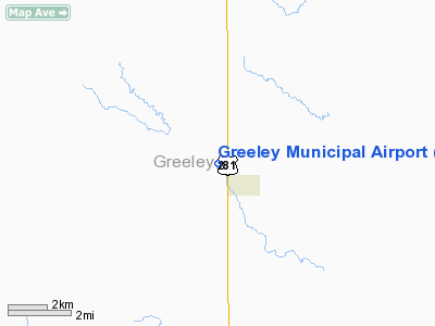
Location & QuickFacts
| FAA Information Effective: | 2008-09-25 |
| Airport Identifier: | 99Y |
| Airport Status: | Operational |
| Longitude/Latitude: | 098-32-46.2670W/41-33-30.0430N
-98.546185/41.558345 (Estimated) |
| Elevation: | 2035 ft / 620.27 m (Estimated) |
| Land: | 18 acres |
| From nearest city: | 1 nautical miles NW of Greeley, NE |
| Location: | Greeley County, NE |
| Magnetic Variation: | 08E (1985) |
Owner & Manager
| Ownership: | Publicly owned |
| Owner: | Greeley Airport Authority |
| Address: | Po Box 308
Greeley, NE 68842 |
| Phone number: | 308-428-5365 |
| Manager: | Orren W. Wood Jr. |
| Address: | Box 26 Main St
Greeley, NE 68842 |
| Phone number: | 308-428-3585 |
Airport Operations and Facilities
| Airport Use: | Open to public |
| Wind indicator: | Yes |
| Segmented Circle: | No |
| Control Tower: | No |
| Landing fee charge: | No |
| Sectional chart: | Omaha |
| Region: | ACE - Central |
| Boundary ARTCC: | ZMP - Minneapolis |
| Tie-in FSS: | OLU - Columbus |
| FSS on Airport: | No |
| FSS Toll Free: | 1-800-WX-BRIEF |
| NOTAMs Facility: | OLU (NOTAM-d service avaliable) |
| Federal Agreements: | N |
Airport Communications
Airport Services
| Airframe Repair: | NONE |
| Power Plant Repair: | NONE |
| Bottled Oxygen: | NONE |
| Bulk Oxygen: | NONE |
Runway Information
Runway 13/31
| Dimension: | 2800 x 100 ft / 853.4 x 30.5 m |
| Surface: | TURF, Fair Condition |
| |
Runway 13 |
Runway 31 |
| Traffic Pattern: | Left | Left |
| Obstruction: | 4 ft fence, 100 ft left of centerline | 4 ft fence, 0.0 ft from runway, 100 ft left of centerline |
|
Radio Navigation Aids
| ID |
Type |
Name |
Ch |
Freq |
Var |
Dist |
| ODX | NDB | Ord | | 356.00 | 07E | 18.5 nm |
| BVN | NDB | Alaby | | 332.00 | 06E | 24.4 nm |
| BUB | NDB | Burwell | | 377.00 | 07E | 29.9 nm |
| BBW | NDB | Broken Bow | | 265.00 | 08E | 49.6 nm |
| OBH | VORTAC | Wolbach | 095X | 114.80 | 07E | 14.0 nm |
| GRI | VORTAC | Grand Island | 057X | 112.00 | 07E | 36.1 nm |
Images and information placed above are from
http://www.airport-data.com/airport/99Y/
We thank them for the data!
| General Info
|
| Country |
United States
|
| State |
NEBRASKA
|
| FAA ID |
99Y
|
| Latitude |
41-33-30.043N
|
| Longitude |
098-32-46.267W
|
| Elevation |
2035 feet
|
| Near City |
GREELEY
|
We don't guarantee the information is fresh and accurate. The data may
be wrong or outdated.
For more up-to-date information please refer to other sources.
|
|


