 |
|
Location & QuickFacts
| FAA Information Effective: | 2008-09-25 |
| Airport Identifier: | NE85 |
| Airport Status: | Operational |
| Longitude/Latitude: | 098-18-09.2480W/41-41-14.0410N
-98.302569/41.687234 (Estimated) |
| Elevation: | 2035 ft / 620.27 m (Estimated) |
| Land: | 0 acres |
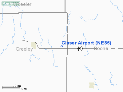
| From nearest city: | 3 nautical miles E of Spalding, NE |
| Location: | Greeley County, NE |
| Magnetic Variation: | 07E (1985) |
Owner & Manager
| Ownership: | Privately owned |
| Owner: | Alfred C Glaser |
| Address: | Box 87
Spalding, NE 68665 |
| Phone number: | 308-497-2381 |
| Manager: | Alfred C Glaser |
| Address: | Box 87
Spalding, NE 68665 |
| Phone number: | 308-497-2381 |
Airport Operations and Facilities
| Airport Use: | Private |
| Wind indicator: | Yes |
| Segmented Circle: | No |
| Control Tower: | No |
| Landing fee charge: | No |
| Sectional chart: | Omaha |
| Region: | ACE - Central |
| Boundary ARTCC: | ZMP - Minneapolis |
| Tie-in FSS: | OLU - Columbus |
| FSS on Airport: | No |
| FSS Toll Free: | 1-800-WX-BRIEF |
Airport Services
| Fuel available: | 100 115 80 |
| Airframe Repair: | MAJOR |
| Power Plant Repair: | MAJOR |
Runway Information
Runway N/S
| Dimension: | 2400 x 80 ft / 731.5 x 24.4 m |
| Surface: | ASPH, |
| |
Runway N |
Runway S |
| Traffic Pattern: | Left | Left |
| Obstruction: | 25 ft pline, 400.0 ft from runway | |
|
Radio Navigation Aids
| ID |
Type |
Name |
Ch |
Freq |
Var |
Dist |
| BVN | NDB | Alaby | | 332.00 | 06E | 11.5 nm |
| ODX | NDB | Ord | | 356.00 | 07E | 29.2 nm |
| BUB | NDB | Burwell | | 377.00 | 07E | 38.2 nm |
| OF | NDB | Carsy | | 510.00 | 08E | 38.8 nm |
| PLT | NDB | Platte Center | | 407.00 | 08E | 43.0 nm |
| OFK | VOR/DME | Norfolk | 033X | 109.60 | 08E | 42.9 nm |
| OLU | VOR/DME | Columbus | 055X | 111.80 | 08E | 45.5 nm |
| OBH | VORTAC | Wolbach | 095X | 114.80 | 07E | 18.9 nm |
| GRI | VORTAC | Grand Island | 057X | 112.00 | 07E | 42.3 nm |
Remarks
- PROVIDED S END OF RWY DSPLCD SUFFICIENT DIST TO GIVE ADEQUATE CLEARANCE OVR PLINE.
Images and information placed above are from
http://www.airport-data.com/airport/NE85/
We thank them for the data!
| General Info
|
| Country |
United States
|
| State |
NEBRASKA
|
| FAA ID |
NE85
|
| Latitude |
41-41-14.041N
|
| Longitude |
098-18-09.248W
|
| Elevation |
2035 feet
|
| Near City |
SPALDING
|
We don't guarantee the information is fresh and accurate. The data may
be wrong or outdated.
For more up-to-date information please refer to other sources.
|
|


