|
|
| Fremont Municipal Airport |
| IATA: FET – ICAO: KFET – FAA LID: FET |
| Summary |
| Airport type |
Public |
| Owner |
City of Fremont |
| Serves |
Fremont, Nebraska |
| Elevation AMSL |
1,204 ft / 367 m |
| Coordinates |
41°26′57″N 096°31′13″W / 41.44917°N 96.52028°W / 41.44917; -96.52028 |
| Runways |
| Direction |
Length |
Surface |
| ft |
m |
| 14/32 |
6,355 |
1,676 |
Asphalt/Concrete |
| 1/19 |
2,622 |
745 |
Asphalt |
| Statistics (2008) |
| Aircraft operations |
22,300 |
| Based aircraft |
50 |
| Source: Federal Aviation Administration |
Fremont Municipal Airport (IATA: FET, ICAO: KFET, FAA LID: FET) is a city-owned, public-use airport located two nautical miles (3.7 km) northwest of the central business district of Fremont, in Dodge County, Nebraska, United States. According to the FAA's National Plan of Integrated Airport Systems for 2009-2013, it was classified as a general aviation airport.
Facilities and aircraft
Fremont Municipal Airport covers an area of 639 acres (259 ha) at an elevation of 1,204 feet (367 m) above mean sea level. It has two runways: 14/32 is 6,350 by 100 feet (1,676 x 30 m) with an asphalt/concrete surface; 1/19 is 2,622 by 50 feet (745 x 15 m) with an asphalt surface.
For the 12-month period ending August 13, 2008, the airport had 22,300 aircraft operations, an average of 61 per day: 83% general aviation, 16% air taxi and 1% military. At that time there were 50 aircraft based at this airport: 84% single-engine and 16% multi-engine.
The above content comes from Wikipedia and is published under free licenses – click here to read more.
 |
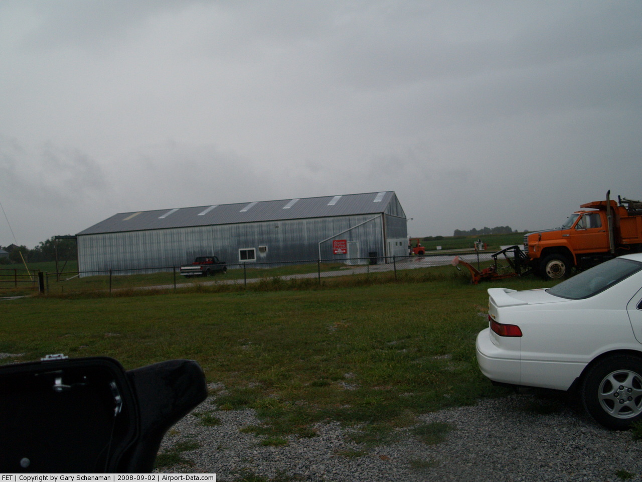
(Click on the photo to enlarge) |
 |
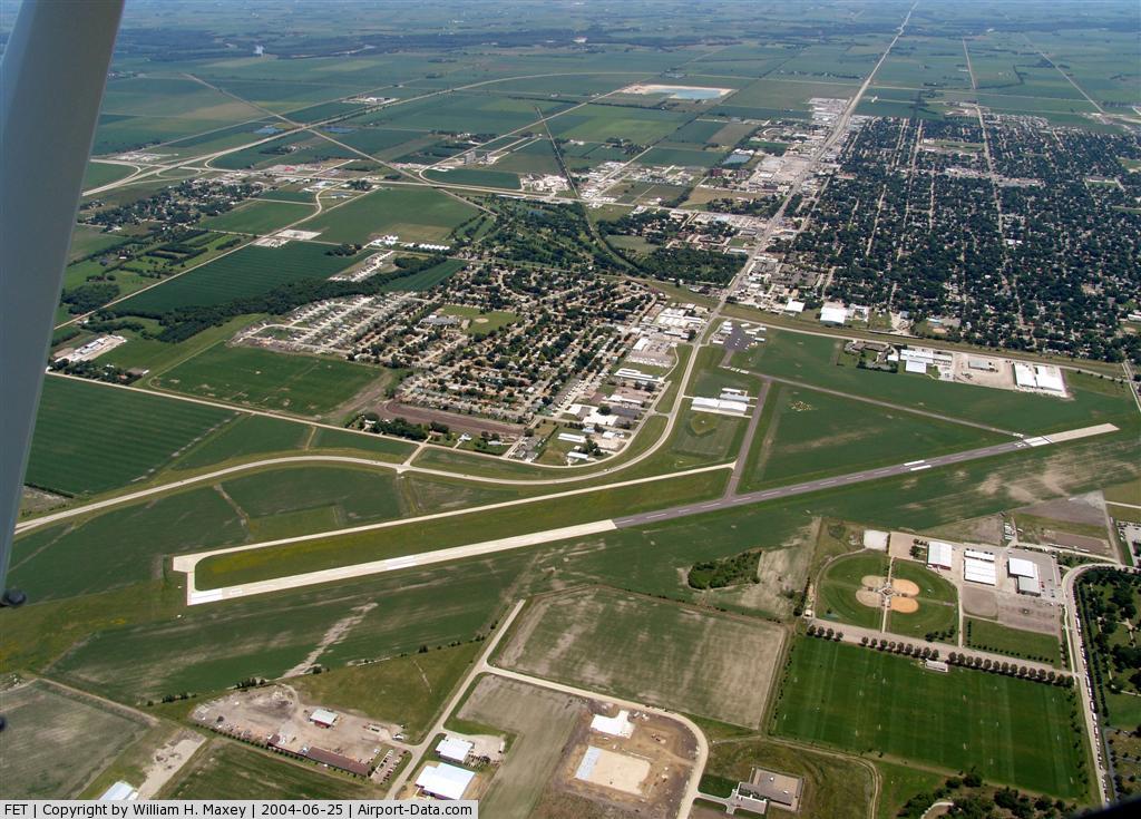
(Click on the photo to enlarge) |
Location & QuickFacts
| FAA Information Effective: | 2008-09-25 |
| Airport Identifier: | FET |
| Airport Status: | Operational |
| Longitude/Latitude: | 096-31-12.7919W/41-26-56.9085N
-96.520220/41.449141 (Estimated) |
| Elevation: | 1204 ft / 366.98 m (Surveyed) |
| Land: | 639 acres |
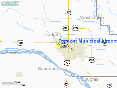
| From nearest city: | 2 nautical miles NW of Fremont, NE |
| Location: | Dodge County, NE |
| Magnetic Variation: | 06E (1990) |
Owner & Manager
| Ownership: | Publicly owned |
| Owner: | City Of Fremont
BOB HARTWIG - CITY ADMINISTRATOR |
| Address: | Po Box 1266
Fremont, NE 68026 |
| Phone number: | 402-727-2636 |
| Manager: | Mark Vyhlidal |
| Address: | 97 W 3rd
Fremont, NE 68025 |
| Phone number: | 402-727-2691 |
Airport Operations and Facilities
| Airport Use: | Open to public |
| Wind indicator: | Yes |
| Segmented Circle: | Yes |
| Control Tower: | No |
| Lighting Schedule: | DUSK-DAWN
ACTVT REIL RY 14 & PAPI RYS 14 & 32 - CTAF. |
| Beacon Color: | Clear-Green (lighted land airport) |
| Landing fee charge: | No |
| Sectional chart: | Omaha |
| Region: | ACE - Central |
| Traffic Pattern Alt: | 800 ft |
| Boundary ARTCC: | ZMP - Minneapolis |
| Tie-in FSS: | OLU - Columbus |
| FSS on Airport: | No |
| FSS Toll Free: | 1-800-WX-BRIEF |
| NOTAMs Facility: | FET (NOTAM-d service avaliable) |
| Federal Agreements: | NGY |
Airport Communications
| CTAF: | 122.800 |
| Unicom: | 122.800 |
Airport Services
| Fuel available: | 100LLA |
| Airframe Repair: | MAJOR |
| Power Plant Repair: | MAJOR |
| Bottled Oxygen: | NONE |
| Bulk Oxygen: | NONE |
Runway Information
Runway 01/19
| Dimension: | 2444 x 50 ft / 744.9 x 15.2 m |
| Surface: | ASPH, Good Condition
S 3190 FT ASPH; 100 FT WIDE. |
| Weight Limit: | Single wheel: 12500 lbs. |
| |
Runway 01 |
Runway 19 |
| Longitude: | 096-30-58.3960W | 096-30-52.0810W |
| Latitude: | 41-26-38.7130N | 41-27-02.3870N |
| Elevation: | 1202.00 ft | 1201.00 ft |
| Alignment: | 11 | 127 |
| Traffic Pattern: | Left | Right |
| Markings: | Basic, Good Condition | Basic, Good Condition |
| Displaced threshold: | 470.00 ft | 600.00 ft |
| Obstruction: | 15 ft road, 240.0 ft from runway, 2:1 slope to clear | 45 ft tree, 1165.0 ft from runway, 175 ft left of centerline, 21:1 slope to clear
APCH RATIO 20:1 TO DSPLCD THLD. |
| Decleard distances: | Take off run available 1974.00 ft
Take off distance available 1974.00 ft
Actual stop distance available 2444.00 ft
Landing distance available 1844.00 ft
| Take off run available 1844.00 ft
Take off distance available 1844.00 ft
Actual stop distance available 2284.00 ft
Landing distance available 1844.00 ft
|
|
Runway 14/32
| Dimension: | 5500 x 100 ft / 1676.4 x 30.5 m |
| Surface: | ASPH-CONC, Good Condition
S 3190 FT ASPH; 100 FT WIDE. |
| Weight Limit: | Single wheel: 28000 lbs.
Dual wheel: 48000 lbs. |
| Edge Lights: | Medium |
| |
Runway 14 |
Runway 32 |
| Longitude: | 096-31-43.3930W | 096-30-57.7910W |
| Latitude: | 41-27-20.8030N | 41-26-38.6650N |
| Elevation: | 1203.00 ft | 1202.00 ft |
| Alignment: | 127 | 127 |
| Traffic Pattern: | Left | Right |
| Markings: | Non-precision instrument, Good Condition | Non-precision instrument, Good Condition |
| Crossing Height: | 40.00 ft | 40.00 ft |
| Displaced threshold: | 0.00 ft | 850.00 ft |
| VASI: | 2-light PAPI on left side | 2-light PAPI on left side |
| Visual Glide Angle: | 3.00° | 3.00° |
| Runway End Identifier: | Yes | |
| Obstruction: | 27 ft pole, 1300.0 ft from runway, 100 ft right of centerline, 40:1 slope to clear | 15 ft road, 820.0 ft from runway, 100 ft left of centerline, 41:1 slope to clear |
| Decleard distances: | Take off run available 5500.00 ft
Take off distance available 5500.00 ft
Actual stop distance available 5500.00 ft
Landing distance available 5500.00 ft
| Take off run available 5500.00 ft
Take off distance available 5500.00 ft
Actual stop distance available 5500.00 ft
Landing distance available 4650.00 ft
|
|
Radio Navigation Aids
| ID |
Type |
Name |
Ch |
Freq |
Var |
Dist |
| FET | NDB | Fremont | | 311.00 | 06E | 0.1 nm |
| AHQ | NDB | Wahoo | | 400.00 | 07E | 13.1 nm |
| MLE | NDB | Millard | | 371.00 | 06E | 23.9 nm |
| OM | NDB | Gerfi | | 320.00 | 05E | 25.9 nm |
| PLT | NDB | Platte Center | | 407.00 | 08E | 38.9 nm |
| PMV | NDB | Plattsmouth | | 329.00 | 06E | 41.0 nm |
| LN | NDB | Potts | | 385.00 | 06E | 43.6 nm |
| SWT | NDB | Seward | | 269.00 | 06E | 44.3 nm |
| OFF | TACAN | Offutt | 054X | | 05E | 34.4 nm |
| TQE | VOR | Tekamah | | 108.40 | 07E | 24.2 nm |
| SCB | VOR/DME | Scribner | 47X | 111.00 | 06E | 10.6 nm |
| OLU | VOR/DME | Columbus | 055X | 111.80 | 08E | 37.0 nm |
| LNK | VORTAC | Lincoln | 108X | 116.10 | 09E | 33.1 nm |
| OVR | VORTAC | Omaha | 110X | 116.30 | 08E | 39.2 nm |
| OMA | VOT | Omaha | | 109.00 | | 30.0 nm |
Remarks
Images and information placed above are from
http://www.airport-data.com/airport/FET/
We thank them for the data!
| General Info
|
| Country |
United States
|
| State |
NEBRASKA
|
| FAA ID |
FET
|
| Latitude |
41-26-56.900N
|
| Longitude |
096-31-12.700W
|
| Elevation |
1203 feet
|
| Near City |
FREMONT
|
We don't guarantee the information is fresh and accurate. The data may
be wrong or outdated.
For more up-to-date information please refer to other sources.
|
|