|
|
 |
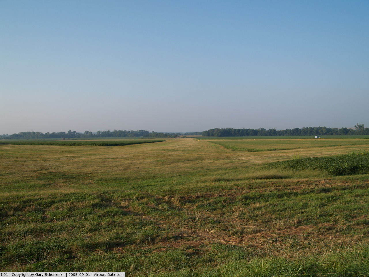
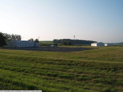
(Click on the photo to enlarge) |
 |
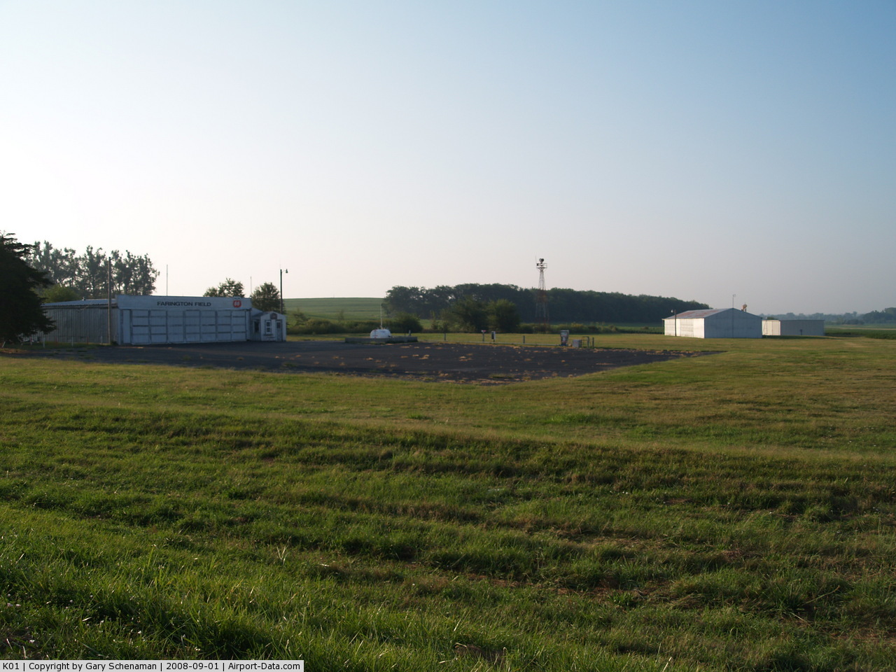
(Click on the photo to enlarge) |
Location & QuickFacts
| FAA Information Effective: | 2008-09-25 |
| Airport Identifier: | K01 |
| Airport Status: | Operational |
| Longitude/Latitude: | 095-47-20.9820W/40-23-15.0060N
-95.789162/40.387502 (Estimated) |
| Elevation: | 932 ft / 284.07 m (Estimated) |
| Land: | 111 acres |
| From nearest city: | 3 nautical miles E of Auburn, NE |
| Location: | Nemaha County, NE |
| Magnetic Variation: | 06E (1985) |
Owner & Manager
| Ownership: | Publicly owned |
| Owner: | City Of Auburn |
| Address: | P.o. Box 483
Auburn, NE 68305 |
| Phone number: | 402-274-3568
CITY HALL PHONE NUMBER 402-274-3420 |
| Manager: | Kendall Neiman |
| Address: | 1321 F Street
Auburn, NE 68305 |
| Phone number: | 402-274-4093
MANAGERS RESIDENCE PHONE NUMBER. |
Airport Operations and Facilities
| Airport Use: | Open to public |
| Wind indicator: | Yes |
| Segmented Circle: | No |
| Control Tower: | No |
| Lighting Schedule: | DUSK-DAWN
ACTVT MIRL RY 16/34 2200-0600 - CTAF. |
| Beacon Color: | Clear-Green (lighted land airport) |
| Landing fee charge: | No |
| Sectional chart: | Omaha |
| Region: | ACE - Central |
| Traffic Pattern Alt: | 1000 ft |
| Boundary ARTCC: | ZMP - Minneapolis |
| Tie-in FSS: | OLU - Columbus |
| FSS on Airport: | No |
| FSS Toll Free: | 1-800-WX-BRIEF |
| NOTAMs Facility: | OLU (NOTAM-d service avaliable) |
| Federal Agreements: | N1 |
Airport Communications
Airport Services
| Fuel available: | 100LL |
| Bottled Oxygen: | NONE |
| Bulk Oxygen: | NONE |
Runway Information
Runway 02/20
| Dimension: | 1600 x 80 ft / 487.7 x 24.4 m |
| Surface: | TURF, Good Condition |
| |
Runway 02 |
Runway 20 |
| Traffic Pattern: | Left | Left |
| Displaced threshold: | 0.00 ft | 200.00 ft
DSPLCD THLD MKD WITH THREE YELLOW CONES EACH SIDE. |
| Obstruction: | 59 ft tree, 900.0 ft from runway, 175 ft left of centerline, 15:1 slope to clear
HAS +10 FARM ROAD AT AER 02. | 87 ft tree, 1450.0 ft from runway, 150 ft left of centerline, 16:1 slope to clear |
|
Runway 16/34
| Dimension: | 4000 x 100 ft / 1219.2 x 30.5 m |
| Surface: | TURF, Good Condition |
| Edge Lights: | Medium |
| |
Runway 16 |
Runway 34 |
| Traffic Pattern: | Left | Left |
| Obstruction: | 18 ft road, 364.0 ft from runway, 20:1 slope to clear | , 50:1 slope to clear |
|
Radio Navigation Aids
| ID |
Type |
Name |
Ch |
Freq |
Var |
Dist |
| AYB | NDB | Auburn | | 430.00 | 05E | 3.0 nm |
| AFK | NDB | Nebraska City | | 347.00 | 05E | 13.5 nm |
| FNB | NDB | Brenner | | 404.00 | 05E | 20.9 nm |
| SDA | NDB | Shenandoah | | 411.00 | 05E | 28.0 nm |
| PMV | NDB | Plattsmouth | | 329.00 | 06E | 33.9 nm |
| EVU | NDB | Emville | | 317.00 | 05E | 40.1 nm |
| ICL | NDB | Clarinda | | 353.00 | 04E | 40.3 nm |
| HWB | NDB | Shaw | | 263.00 | 06E | 45.0 nm |
| RDK | NDB | Red Oak | | 230.00 | 04E | 45.0 nm |
| BJU | NDB | Big Blue | | 248.00 | 06E | 46.9 nm |
| LN | NDB | Potts | | 385.00 | 06E | 49.4 nm |
| OFF | TACAN | Offutt | 054X | | 05E | 44.2 nm |
| BIE | VOR | Beatrice | | 110.60 | 07E | 44.5 nm |
| RBA | VOR/DME | Robinson | 019X | 108.20 | 04E | 36.4 nm |
| PWE | VORTAC | Pawnee City | 071X | 112.40 | 05E | 22.2 nm |
| OVR | VORTAC | Omaha | 110X | 116.30 | 08E | 46.9 nm |
| STJ | VORTAC | St Joseph | 102X | 115.50 | 08E | 47.3 nm |
Remarks
- ARPT ESTAB PRIOR TO 1959.
Images and information placed above are from
http://www.airport-data.com/airport/K01/
We thank them for the data!
| General Info
|
| Country |
United States
|
| State |
NEBRASKA
|
| FAA ID |
K01
|
| Latitude |
40-23-15.006N
|
| Longitude |
095-47-20.982W
|
| Elevation |
932 feet
|
| Near City |
AUBURN
|
We don't guarantee the information is fresh and accurate. The data may
be wrong or outdated.
For more up-to-date information please refer to other sources.
|
|