|
|
 |
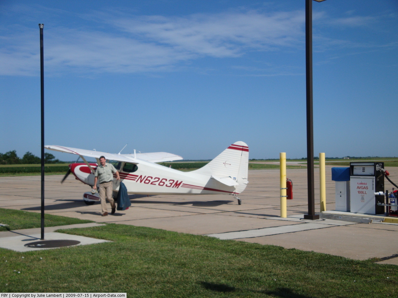
(Click on the photo to enlarge) |
Location & QuickFacts
| FAA Information Effective: | 2008-09-25 |
| Airport Identifier: | FBY |
| Airport Status: | Operational |
| Longitude/Latitude: | 097-10-09.4000W/40-10-58.7000N
-97.169278/40.182972 (Estimated) |
| Elevation: | 1479 ft / 450.80 m (Surveyed) |
| Land: | 320 acres |
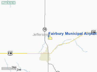
| From nearest city: | 3 nautical miles NE of Fairbury, NE |
| Location: | Jefferson County, NE |
| Magnetic Variation: | 06E (2000) |
Owner & Manager
| Ownership: | Publicly owned |
| Owner: | Fairbury Airport Authority |
| Address: | Po Box 187
Fairbury, NE 68352-0187 |
| Phone number: | 402-729-2250 |
| Manager: | Sandi Decker |
| Address: | Po Box 187
Fairbury, NE 68352-0187 |
| Phone number: | 402-729-2250 |
Airport Operations and Facilities
| Airport Use: | Open to public |
| Wind indicator: | Yes |
| Segmented Circle: | Yes |
| Control Tower: | No |
| Lighting Schedule: | DUSK-DAWN
ACTVT MIRL RY 17/35 - CTAF |
| Beacon Color: | Clear-Green (lighted land airport) |
| Landing fee charge: | No |
| Sectional chart: | Omaha |
| Region: | ACE - Central |
| Traffic Pattern Alt: | 800 ft |
| Boundary ARTCC: | ZMP - Minneapolis |
| Tie-in FSS: | OLU - Columbus |
| FSS on Airport: | No |
| FSS Toll Free: | 1-800-WX-BRIEF |
| NOTAMs Facility: | OLU (NOTAM-d service avaliable) |
| Federal Agreements: | NGY |
Airport Communications
| CTAF: | 122.700 |
| Unicom: | 122.700 |
Airport Services
| Fuel available: | 100LL
24 HR SELF SVC FUEL AVBL VIA CREDIT CARD SYSTEM. |
| Airframe Repair: | NONE |
| Power Plant Repair: | NONE |
| Bottled Oxygen: | NONE |
| Bulk Oxygen: | NONE |
Runway Information
Runway 11/29
| Dimension: | 2455 x 150 ft / 748.3 x 45.7 m |
| Surface: | TURF, Good Condition |
| |
Runway 11 |
Runway 29 |
| Longitude: | 097-10-09.6280W | 097-09-42.1270W |
| Latitude: | 40-10-56.0070N | 40-10-44.0070N |
| Elevation: | 1465.00 ft | 1450.00 ft |
| Alignment: | 120 | 127 |
| Traffic Pattern: | Left | Left |
|
Runway 17/35
| Dimension: | 3700 x 75 ft / 1127.8 x 22.9 m |
| Surface: | CONC, Good Condition |
| Weight Limit: | Single wheel: 12000 lbs. |
| Edge Lights: | Medium |
| |
Runway 17 |
Runway 35 |
| Longitude: | 097-10-09.1604W | 097-10-09.5305W |
| Latitude: | 40-11-16.9659N | 40-10-40.4015N |
| Elevation: | 1479.00 ft | 1464.00 ft |
| Alignment: | 127 | 0 |
| Traffic Pattern: | Left | Left |
| Markings: | Non-precision instrument, Good Condition | Non-precision instrument, Good Condition |
|
Radio Navigation Aids
| ID |
Type |
Name |
Ch |
Freq |
Var |
Dist |
| FBY | NDB | Fairbury | | 293.00 | 06E | 0.4 nm |
| HJH | NDB | Hebron | | 323.00 | 06E | 19.3 nm |
| HWB | NDB | Shaw | | 263.00 | 06E | 19.5 nm |
| BJU | NDB | Big Blue | | 248.00 | 06E | 19.6 nm |
| DBX | NDB | Morrison | | 212.00 | 06E | 26.0 nm |
| FMZ | NDB | Beklof | | 392.00 | 07E | 30.5 nm |
| RPB | NDB | Republican | | 414.00 | 07E | 31.6 nm |
| MYZ | NDB | Marysville | | 341.00 | 06E | 31.7 nm |
| LN | NDB | Potts | | 385.00 | 06E | 38.7 nm |
| SWT | NDB | Seward | | 269.00 | 06E | 40.9 nm |
| CNK | NDB | Concordia | | 335.00 | 06E | 43.9 nm |
| JYR | NDB | York | | 257.00 | 06E | 47.6 nm |
| CYW | NDB | Clay Center | | 362.00 | 07E | 48.2 nm |
| BIE | VOR | Beatrice | | 110.60 | 07E | 20.3 nm |
| PWE | VORTAC | Pawnee City | 071X | 112.40 | 05E | 44.2 nm |
| LNK | VORTAC | Lincoln | 108X | 116.10 | 09E | 48.6 nm |
Images and information placed above are from
http://www.airport-data.com/airport/FBY/
We thank them for the data!
| General Info
|
| Country |
United States
|
| State |
NEBRASKA
|
| FAA ID |
FBY
|
| Latitude |
40-10-58.700N
|
| Longitude |
097-10-09.400W
|
| Elevation |
1479 feet
|
| Near City |
FAIRBURY
|
We don't guarantee the information is fresh and accurate. The data may
be wrong or outdated.
For more up-to-date information please refer to other sources.
|
|