 |
|
Location & QuickFacts
| FAA Information Effective: | 2008-09-25 |
| Airport Identifier: | 83NE |
| Airport Status: | Operational |
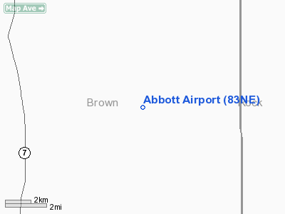
| Longitude/Latitude: | 099-45-21.4480W/42-19-29.9980N
-99.755958/42.324999 (Estimated) |
| Elevation: | 2560 ft / 780.29 m (Estimated) |
| Land: | 0 acres |
| From nearest city: | 14 nautical miles S of Long Pine, NE |
| Location: | Brown County, NE |
| Magnetic Variation: | 09E (1985) |
Owner & Manager
| Ownership: | Privately owned |
| Owner: | Glenna M Abbott |
| Address: | Box 265
Long Pine, NE 69217 |
| Phone number: | 402-387-2649 |
| Manager: | Glenna M Abbott |
| Address: | Box 265
Long Pine, NE 69217 |
| Phone number: | 402-387-2649 |
Airport Operations and Facilities
| Airport Use: | Private
PERSONAL USE. |
| Segmented Circle: | No |
| Control Tower: | No |
| Sectional chart: | Omaha |
| Region: | ACE - Central |
| Boundary ARTCC: | ZDV - Denver |
| Tie-in FSS: | OLU - Columbus |
| FSS Toll Free: | 1-800-WX-BRIEF |
Runway Information
Runway 14/32
| Dimension: | 3000 x 150 ft / 914.4 x 45.7 m |
| Surface: | TURF, |
| |
Runway 14 |
Runway 32 |
| Traffic Pattern: | Left | Left |
|
Radio Navigation Aids
| ID |
Type |
Name |
Ch |
Freq |
Var |
Dist |
| RBE | NDB | Rock County | | 341.00 | 08E | 16.9 nm |
| BUB | NDB | Burwell | | 377.00 | 07E | 42.9 nm |
| VTN | NDB | Valentine | | 314.00 | 08E | 47.7 nm |
| ANW | VOR/DME | Ainsworth | 074X | 112.70 | 09E | 18.0 nm |
| TDD | VOR/DME | Thedford | 023X | 108.60 | 09E | 47.6 nm |
| ONL | VORTAC | O'neill | 086X | 113.90 | 10E | 48.3 nm |
Remarks
- PRVDD APCHS ARE MAINTAINED FOR A 20:1 GS & TRANSITIONAL SFCS FOR A 7:1 SLOPE.
Images and information placed above are from
http://www.airport-data.com/airport/83NE/
We thank them for the data!
|
|


