 |
|
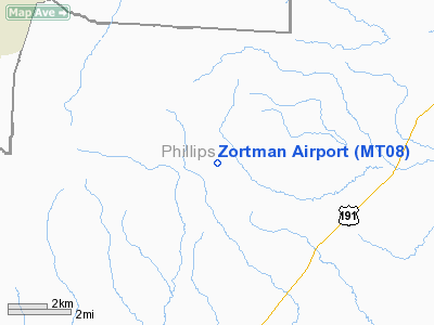
Location & QuickFacts
| FAA Information Effective: | 2008-09-25 |
| Airport Identifier: | MT08 |
| Airport Status: | Operational |
| Longitude/Latitude: | 108-29-00.0000W/47-55-00.0000N
-108.483333/47.916667 (Estimated) |
| Elevation: | 3900 ft / 1188.72 m (Estimated) |
| Land: | 6 acres |
| From nearest city: | 1 nautical miles SE of Zortman, MT |
| Location: | Phillips County, MT |
| Magnetic Variation: | 14E (1995) |
Owner & Manager
| Ownership: | Privately owned |
| Owner: | Zortman Mining Inc. |
| Address: | P.o. Box 313
Zortman, MT 59548 |
| Phone number: | 406-673-3252 |
| Manager: | Kevin Ryan |
| Address: | P.o. Box 313
Zortman, MT 59548 |
| Phone number: | 406-673-3252 |
Airport Operations and Facilities
| Airport Use: | Private |
| Segmented Circle: | No |
| Control Tower: | No |
| Lighting Schedule: | RDO-CTL
ACTVT MIRL RY 13/31 - 122.8. |
| Landing fee charge: | No |
| Sectional chart: | Billings |
| Region: | ANM - Northwest Mountain |
| Boundary ARTCC: | ZLC - Salt Lake City |
| Tie-in FSS: | GTF - Great Falls |
| FSS on Airport: | No |
| FSS Toll Free: | 1-800-WX-BRIEF |
Runway Information
Runway 13/31
| Dimension: | 3800 x 50 ft / 1158.2 x 15.2 m |
| Surface: | ASPH, |
| Edge Lights: | Medium |
| |
Runway 13 |
Runway 31 |
| Traffic Pattern: | Left | Left |
|
Radio Navigation Aids
| ID |
Type |
Name |
Ch |
Freq |
Var |
Dist |
| MLK | NDB | Malta | | 272.00 | 17E | 35.8 nm |
Images and information placed above are from
http://www.airport-data.com/airport/MT08/
We thank them for the data!
| General Info
|
| Country |
United States
|
| State |
MONTANA
|
| FAA ID |
MT08
|
| Latitude |
47-55-00.000N
|
| Longitude |
108-29-00.000W
|
| Elevation |
3900 feet
|
| Near City |
ZORTMAN
|
We don't guarantee the information is fresh and accurate. The data may
be wrong or outdated.
For more up-to-date information please refer to other sources.
|
|


