 |
|
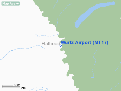
Location & QuickFacts
| FAA Information Effective: | 2008-09-25 |
| Airport Identifier: | MT17 |
| Airport Status: | Operational |
| Longitude/Latitude: | 114-22-53.5160W/48-54-17.9000N
-114.381532/48.904972 (Estimated) |
| Elevation: | 3800 ft / 1158.24 m (Surveyed) |
| Land: | 0 acres |
| From nearest city: | 43 nautical miles N of Kalispell, MT |
| Location: | Flathead County, MT |
| Magnetic Variation: | 19E (1985) |
Owner & Manager
| Ownership: | Publicly owned |
| Owner: | Us Govn/flathead Nat Forest |
| Address: | 1935 3rd Ave East
Kalispell, MT 59901 |
| Phone number: | 406-755-5401 |
| Address: |
|
Airport Operations and Facilities
| Airport Use: | Private |
| Wind indicator: | Yes |
| Segmented Circle: | No |
| Control Tower: | No |
| Landing fee charge: | No |
| Sectional chart: | Great Falls |
| Region: | ANM - Northwest Mountain |
| Boundary ARTCC: | ZLC - Salt Lake City |
| Tie-in FSS: | GTF - Great Falls |
| FSS on Airport: | No |
| FSS Toll Free: | 1-800-WX-BRIEF |
Runway Information
Runway 16/34
| Dimension: | 3000 x 50 ft / 914.4 x 15.2 m |
| Surface: | GRAVEL, |
| |
Runway 16 |
Runway 34 |
| Traffic Pattern: | Left | Left |
|
Radio Navigation Aids
| ID |
Type |
Name |
Ch |
Freq |
Var |
Dist |
| EUR | NDB | Eureka | | 392.00 | 20E | 28.3 nm |
| 9Y | NDB | Pincher Creek | | 311.00 | 18E | 40.0 nm |
| SAK | NDB | Smith Lake | | 515.00 | 18E | 48.0 nm |
| FCA | VOR/DME | Kalispell | 079X | 113.20 | 18E | 42.3 nm |
Remarks
- FOR RECORD PURPOSES ONLY.
Images and information placed above are from
http://www.airport-data.com/airport/MT17/
We thank them for the data!
| General Info
|
| Country |
United States
|
| State |
MONTANA
|
| FAA ID |
MT17
|
| Latitude |
48-54-17.900N
|
| Longitude |
114-22-53.516W
|
| Elevation |
3800 feet
|
| Near City |
KALISPELL
|
We don't guarantee the information is fresh and accurate. The data may
be wrong or outdated.
For more up-to-date information please refer to other sources.
|
|


