 |
|
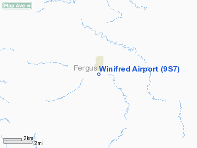
Location & QuickFacts
| FAA Information Effective: | 2008-09-25 |
| Airport Identifier: | 9S7 |
| Airport Status: | Operational |
| Longitude/Latitude: | 109-22-39.6450W/47-33-05.9320N
-109.377679/47.551648 (Estimated) |
| Elevation: | 3311 ft / 1009.19 m (Surveyed) |
| Land: | 25 acres |
| From nearest city: | 1 nautical miles S of Winifred, MT |
| Location: | Fergus County, MT |
| Magnetic Variation: | 16E (1985) |
Owner & Manager
| Ownership: | Publicly owned |
| Owner: | Winifred City/fergus County |
| Address: | Winifred Town Hall
Winifred, MT 59489 |
| Phone number: | 406-462-5425 |
| Manager: | Winifred City/fergus County |
| Address: | Winifred Town Hall
Winifred, MT 59489 |
| Phone number: | 406-462-5425 |
Airport Operations and Facilities
| Airport Use: | Open to public |
| Wind indicator: | Yes |
| Segmented Circle: | Yes |
| Control Tower: | No |
| Landing fee charge: | No |
| Sectional chart: | Great Falls |
| Region: | ANM - Northwest Mountain |
| Boundary ARTCC: | ZLC - Salt Lake City |
| Tie-in FSS: | GTF - Great Falls |
| FSS on Airport: | No |
| FSS Toll Free: | 1-800-WX-BRIEF |
| NOTAMs Facility: | GTF (NOTAM-d service avaliable) |
| Federal Agreements: | N |
Airport Communications
Airport Services
| Airframe Repair: | NONE |
| Power Plant Repair: | NONE |
| Bottled Oxygen: | NONE |
| Bulk Oxygen: | NONE |
Runway Information
Runway 08/26
| Dimension: | 2405 x 150 ft / 733.0 x 45.7 m |
| Surface: | TURF, Fair Condition |
| Weight Limit: | Single wheel: 4000 lbs. |
| |
Runway 08 |
Runway 26 |
| Traffic Pattern: | Left | Left |
| Obstruction: | 5 ft fence, 35.0 ft from runway, 7:1 slope to clear
+15' HILL ON CENTERLINE. | 3 ft road, 0.0 ft from runway, 52 ft left of centerline |
|
Radio Navigation Aids
| ID |
Type |
Name |
Ch |
Freq |
Var |
Dist |
| LWT | NDB | Lewistown | | 353.00 | 17E | 29.8 nm |
| LWT | VORTAC | Lewistown | 057X | 112.00 | 15E | 31.4 nm |
Remarks
- EMERGENCY CONTACT 406-462-5426.
- ESTABLISHED PRIOR TO 1959.
Images and information placed above are from
http://www.airport-data.com/airport/9S7/
We thank them for the data!
| General Info
|
| Country |
United States
|
| State |
MONTANA
|
| FAA ID |
9S7
|
| Latitude |
47-33-05.932N
|
| Longitude |
109-22-39.645W
|
| Elevation |
3311 feet
|
| Near City |
WINIFRED
|
We don't guarantee the information is fresh and accurate. The data may
be wrong or outdated.
For more up-to-date information please refer to other sources.
|
|


