 |
|
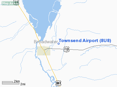
Location & QuickFacts
| FAA Information Effective: | 2008-09-25 |
| Airport Identifier: | 8U8 |
| Airport Status: | Operational |
| Longitude/Latitude: | 111-28-57.3100W/46-19-52.4350N
-111.482586/46.331232 (Estimated) |
| Elevation: | 3893 ft / 1186.59 m (Surveyed) |
| Land: | 125 acres |
| From nearest city: | 2 nautical miles E of Townsend, MT |
| Location: | Broadwater County, MT |
| Magnetic Variation: | 16E (1985) |
Owner & Manager
| Ownership: | Publicly owned |
| Owner: | Broadwater Cty & City Of Townsend |
| Address: | 515 Broadway
Townsend, MT 59644 |
| Phone number: | 406-266-9201 |
| Manager: | Neil Salmi |
| Address: | 1 Airport Drive
Townsend, MT 59644 |
| Phone number: | 406-266-5400 |
Airport Operations and Facilities
| Airport Use: | Open to public |
| Wind indicator: | Yes |
| Segmented Circle: | No |
| Control Tower: | No |
| Lighting Schedule: | DUSK-DAWN
ACTIVATE MIRL RY 16/34 - CTAF. |
| Beacon Color: | Clear-Green (lighted land airport) |
| Landing fee charge: | No |
| Sectional chart: | Great Falls |
| Region: | ANM - Northwest Mountain |
| Boundary ARTCC: | ZLC - Salt Lake City |
| Tie-in FSS: | GTF - Great Falls |
| FSS on Airport: | No |
| FSS Toll Free: | 1-800-WX-BRIEF |
| NOTAMs Facility: | GTF (NOTAM-d service avaliable) |
| Federal Agreements: | N |
Airport Communications
| CTAF: | 122.800 |
| Unicom: | 122.800 |
Airport Services
| Fuel available: | 100LL |
| Airframe Repair: | MAJOR |
| Power Plant Repair: | MAJOR |
| Bottled Oxygen: | NONE |
| Bulk Oxygen: | NONE |
Runway Information
Runway 16/34
| Dimension: | 4000 x 60 ft / 1219.2 x 18.3 m |
| Surface: | ASPH, Good Condition |
| Weight Limit: | Single wheel: 12500 lbs. |
| Edge Lights: | Medium |
| |
Runway 16 |
Runway 34 |
| Longitude: | 111-28-58.3700W | 111-28-56.2500W |
| Latitude: | 46-20-12.1600N | 46-19-32.7100N |
| Elevation: | 3875.00 ft | 3893.00 ft |
| Alignment: | 127 | 127 |
| Traffic Pattern: | Left | Left |
| Markings: | Basic, Good Condition | Basic, Good Condition |
| Obstruction: | , 50:1 slope to clear | 40 ft tree, 962.0 ft from runway, 432 ft right of centerline, 19:1 slope to clear |
|
Radio Navigation Aids
| ID |
Type |
Name |
Ch |
Freq |
Var |
Dist |
| HAU | NDB | Hauser | | 386.00 | 16E | 18.3 nm |
| CVP | NDB | Capitol | | 335.00 | 16E | 25.1 nm |
| BZN | VOR/DME | Bozeman | 071X | 112.40 | 18E | 35.6 nm |
| HLN | VORTAC | Helena | 124X | 117.70 | 16E | 25.6 nm |
| HIA | VORTAC | Whitehall | 084X | 113.70 | 18E | 40.2 nm |
Remarks
- TWY MKD WITH REFLECTORS.
- ARPT ESTAB PRIOR TO 1959.
Images and information placed above are from
http://www.airport-data.com/airport/8U8/
We thank them for the data!
| General Info
|
| Country |
United States
|
| State |
MONTANA
|
| FAA ID |
8U8
|
| Latitude |
46-19-52.000N
|
| Longitude |
111-28-53.000W
|
| Elevation |
3885 feet
|
| Near City |
TOWNSEND
|
We don't guarantee the information is fresh and accurate. The data may
be wrong or outdated.
For more up-to-date information please refer to other sources.
|
|


