 |
|
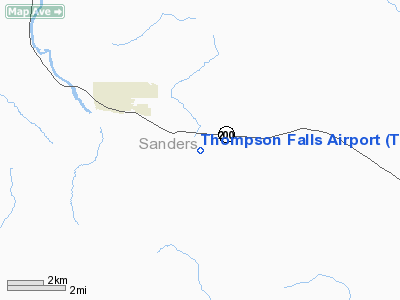
Location & QuickFacts
| FAA Information Effective: | 2008-09-25 |
| Airport Identifier: | THM |
| Airport Status: | Operational |
| Longitude/Latitude: | 115-16-50.4000W/47-34-24.6000N
-115.280667/47.573500 (Estimated) |
| Elevation: | 2467 ft / 751.94 m (Surveyed) |
| Land: | 136 acres |
| From nearest city: | 3 nautical miles SE of Thompson Falls, MT |
| Location: | Sanders County, MT |
| Magnetic Variation: | 19E (1980) |
Owner & Manager
| Ownership: | Publicly owned |
| Owner: | Sanders County |
| Address: | Po Box 519
Thompson Falls, MT 59873-0519 |
| Phone number: | 406-827-6942 |
| Manager: | Alan Netz |
| Address: | , P.o. Box 1364
Thompson Falls, MT 59873 |
| Phone number: | 406-827-0078 |
Airport Operations and Facilities
| Airport Use: | Open to public |
| Wind indicator: | Yes |
| Segmented Circle: | Yes |
| Control Tower: | No |
| Lighting Schedule: | DUSK-DAWN
ACTVT MIRL RY 07/25; PAPI RY 07 & VASI RY 25 - CTAF. |
| Beacon Color: | Clear-Green (lighted land airport) |
| Landing fee charge: | No |
| Sectional chart: | Great Falls |
| Region: | ANM - Northwest Mountain |
| Boundary ARTCC: | ZSE - Seattle |
| Tie-in FSS: | GTF - Great Falls |
| FSS on Airport: | No |
| FSS Toll Free: | 1-800-WX-BRIEF |
| NOTAMs Facility: | GTF (NOTAM-d service avaliable) |
| Federal Agreements: | NGY |
Airport Communications
Airport Services
| Fuel available: | 100LL
24 HR CREDIT CARD SERVICE AVAILABLE. |
| Airframe Repair: | NONE |
| Power Plant Repair: | NONE |
| Bottled Oxygen: | NONE |
| Bulk Oxygen: | NONE |
Runway Information
Runway 07/25
| Dimension: | 4200 x 75 ft / 1280.2 x 22.9 m |
| Surface: | ASPH, Good Condition |
| Weight Limit: | Single wheel: 12500 lbs. |
| Edge Lights: | Medium |
| |
Runway 07 |
Runway 25 |
| Traffic Pattern: | Left | Left |
| Markings: | Basic, Good Condition | Basic, Good Condition |
| Crossing Height: | 40.00 ft | 37.00 ft |
| VASI: | 2-light PAPI on right side
PAPI BAFFLED HORIZONTALLY BYD 5 DEG NORTH & SOUTH OF CNTRLN AND UNUSBL BYD 2.6 NM. | 2-box on left side
VASI ROTATED 4 DEGS TO THE N OF RY CNTRLN & BAFFLED 6 DEGS TO S OF RY CNTRLN. |
| Visual Glide Angle: | 4.00° | 4.00° |
| Obstruction: | , 50:1 slope to clear | 29 ft pline, 723.0 ft from runway, 187 ft right of centerline, 18:1 slope to clear |
|
Radio Navigation Aids
| ID |
Type |
Name |
Ch |
Freq |
Var |
Dist |
| LYI | NDB | Libby | | 414.00 | 17E | 44.8 nm |
| PLS | NDB | Polson | | 275.00 | 20E | 44.9 nm |
| INE | NDB | Konna | | 521.00 | 17E | 46.1 nm |
| SAK | NDB | Smith Lake | | 515.00 | 18E | 46.1 nm |
| MLP | VOR/DME | Mullan Pass | 125X | 117.80 | 20E | 16.4 nm |
Remarks
- MKD GND WIRES 7 MI E MAINLAND TO BIG ISLAND.
- PHONE ON ARPT.
- 100 FT SILO IN TRANS SFC NE SIDE OF RY.
- WATERFOWL INVOF ARPT.
- 300 FT CANDLESTICK FXD DIST MKRS IN TRANS SFC.
- SNOW REMOVAL INTMT. CALL 406-827-0078 FOR RWY CONDITIONS
- CONSTR PRIOR 1959
Images and information placed above are from
http://www.airport-data.com/airport/THM/
We thank them for the data!
| General Info
|
| Country |
United States
|
| State |
MONTANA
|
| FAA ID |
THM
|
| Latitude |
47-34-29.768N
|
| Longitude |
115-17-03.539W
|
| Elevation |
2460 feet
|
| Near City |
THOMPSON FALLS
|
We don't guarantee the information is fresh and accurate. The data may
be wrong or outdated.
For more up-to-date information please refer to other sources.
|
|


