 |
|
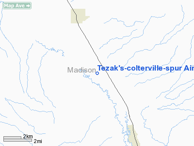
Tezak's-colterville-spur Airport |
Location & QuickFacts
| FAA Information Effective: | 2008-09-25 |
| Airport Identifier: | MT22 |
| Airport Status: | Operational |
| Longitude/Latitude: | 112-09-59.9660W/45-23-59.7290N
-112.166657/45.399925 (Estimated) |
| Elevation: | 5000 ft / 1524.00 m (Estimated) |
| Land: | 0 acres |
| From nearest city: | 3 nautical miles SE of Sheridan, MT |
| Location: | Madison County, MT |
| Magnetic Variation: | 16E (1985) |
Owner & Manager
| Ownership: | Privately owned |
| Owner: | Joe A. Tezak |
| Address: | 2905, Hwy 287
Sheridan, MT 59749 |
| Phone number: | 406-842-5540 |
| Manager: | Joe A. Tezak |
| Address: | 2905, Hwy 287
Sheridan, MT 59749 |
| Phone number: | 406-842-5540 |
Airport Operations and Facilities
| Airport Use: | Private |
| Wind indicator: | Yes |
| Segmented Circle: | No |
| Control Tower: | No |
| Landing fee charge: | No |
| Sectional chart: | Great Falls |
| Region: | ANM - Northwest Mountain |
| Boundary ARTCC: | ZLC - Salt Lake City |
| Tie-in FSS: | GTF - Great Falls |
| FSS on Airport: | No |
| FSS Toll Free: | 1-800-WX-BRIEF |
Airport Communications
Runway Information
Runway 10/28
| Dimension: | 3400 x 100 ft / 1036.3 x 30.5 m |
| Surface: | TURF, |
| |
Runway 10 |
Runway 28 |
| Traffic Pattern: | Left | Left |
|
Radio Navigation Aids
| ID |
Type |
Name |
Ch |
Freq |
Var |
Dist |
| EKS | NDB | Ennis | | 286.00 | 15E | 23.2 nm |
| DLN | VOR/DME | Dillon | 077X | 113.00 | 18E | 18.5 nm |
| CPN | VOR/DME | Coppertown | 053X | 111.60 | 16E | 45.1 nm |
| BZN | VOR/DME | Bozeman | 071X | 112.40 | 18E | 48.4 nm |
| HIA | VORTAC | Whitehall | 084X | 113.70 | 18E | 27.8 nm |
Remarks
Images and information placed above are from
http://www.airport-data.com/airport/MT22/
We thank them for the data!
| General Info
|
| Country |
United States
|
| State |
MONTANA
|
| FAA ID |
MT22
|
| Latitude |
45-23-59.729N
|
| Longitude |
112-09-59.966W
|
| Elevation |
5000 feet
|
| Near City |
SHERIDAN
|
We don't guarantee the information is fresh and accurate. The data may
be wrong or outdated.
For more up-to-date information please refer to other sources.
|
|


