 |
|
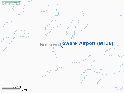
Location & QuickFacts
| FAA Information Effective: | 2008-09-25 |
| Airport Identifier: | MT38 |
| Airport Status: | Operational |
| Longitude/Latitude: | 105-09-23.9300W/48-24-12.0770N
-105.156647/48.403355 (Estimated) |
| Elevation: | 2205 ft / 672.08 m (Estimated) |
| Land: | 2 acres |
| From nearest city: | 17 nautical miles N of Poplar, MT |
| Location: | Roosevelt County, MT |
| Magnetic Variation: | 13E (1985) |
Owner & Manager
| Ownership: | Privately owned |
| Owner: | Mark Swank |
| Address: | Po Box 486
Poplar, MT 59255 |
| Phone number: | 406-448-2281 |
| Manager: | Mark Swank |
| Address: | Po Box 486
Poplar, MT 59255 |
| Phone number: | 406-448-2281 |
Airport Operations and Facilities
| Airport Use: | Private |
| Wind indicator: | Yes |
| Segmented Circle: | No |
| Control Tower: | No |
| Landing fee charge: | No |
| Sectional chart: | Billings |
| Region: | ANM - Northwest Mountain |
| Boundary ARTCC: | ZLC - Salt Lake City |
| Tie-in FSS: | GTF - Great Falls |
| FSS on Airport: | No |
| FSS Toll Free: | 1-800-WX-BRIEF |
Runway Information
Runway 08/26
| Dimension: | 2000 x 50 ft / 609.6 x 15.2 m |
| Surface: | TURF, |
| |
Runway 08 |
Runway 26 |
| Traffic Pattern: | Left | Left |
|
Radio Navigation Aids
| ID |
Type |
Name |
Ch |
Freq |
Var |
Dist |
| OLF | NDB | Wolf Point | | 404.00 | 11E | 25.3 nm |
| SCO | NDB | Scobey | | 283.00 | 16E | 26.8 nm |
| PWD | NDB | Plentywood | | 251.00 | 16E | 34.2 nm |
Remarks
- FILED FOR RECORD PURPOSES ONLY.
Images and information placed above are from
http://www.airport-data.com/airport/MT38/
We thank them for the data!
| General Info
|
| Country |
United States
|
| State |
MONTANA
|
| FAA ID |
MT38
|
| Latitude |
48-24-12.077N
|
| Longitude |
105-09-23.930W
|
| Elevation |
2205 feet
|
| Near City |
POPLAR
|
We don't guarantee the information is fresh and accurate. The data may
be wrong or outdated.
For more up-to-date information please refer to other sources.
|
|


