 |
|
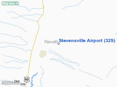
Location & QuickFacts
| FAA Information Effective: | 2008-09-25 |
| Airport Identifier: | 32S |
| Airport Status: | Operational |
| Longitude/Latitude: | 114-03-10.1000W/46-31-30.4000N
-114.052806/46.525111 (Estimated) |
| Elevation: | 3610 ft / 1100.33 m (Estimated) |
| Land: | 207 acres |
| From nearest city: | 2 nautical miles NE of Stevensville, MT |
| Location: | Ravalli County, MT |
| Magnetic Variation: | 16E (2000) |
Owner & Manager
| Ownership: | Publicly owned |
| Owner: | Town Of Stevensville |
| Address: | Po Box 30
Stevensville, MT 59870 |
| Phone number: | 406-777-5271 |
| Manager: | Don Misevic |
| Address: | Po Box 514
Stevensville, MT 59870 |
| Phone number: | 406-777-2006 |
Airport Operations and Facilities
| Airport Use: | Open to public |
| Wind indicator: | Yes |
| Segmented Circle: | Yes |
| Control Tower: | No |
| Lighting Schedule: | DUSK-DAWN
ACTVT MIRL RY 12/30 AND PAPI RY 12 - CTAF. |
| Beacon Color: | Clear-Green (lighted land airport) |
| Landing fee charge: | No |
| Sectional chart: | Great Falls |
| Region: | ANM - Northwest Mountain |
| Boundary ARTCC: | ZLC - Salt Lake City |
| Tie-in FSS: | GTF - Great Falls |
| FSS on Airport: | No |
| FSS Toll Free: | 1-800-WX-BRIEF |
| NOTAMs Facility: | GTF (NOTAM-d service avaliable) |
| Federal Agreements: | NGY |
Airport Communications
| CTAF: | 122.800 |
| Unicom: | 122.800 |
Airport Services
| Fuel available: | 100LL
FUEL SOLD 24 HRS BY CREDIT CARD, SELF SVC. |
| Airframe Repair: | MAJOR |
| Power Plant Repair: | MAJOR |
| Bottled Oxygen: | LOW |
Runway Information
Runway 12/30
| Dimension: | 3800 x 60 ft / 1158.2 x 18.3 m |
| Surface: | ASPH, Good Condition |
| Surface Treatment: | Porous Friction Course |
| Weight Limit: | Single wheel: 12500 lbs. |
| Edge Lights: | Medium |
| |
Runway 12 |
Runway 30 |
| Longitude: | 114-03-29.9000W | 114-02-50.3000W |
| Latitude: | 46-31-43.2000N | 46-31-17.5000N |
| Elevation: | 3535.00 ft | 3610.00 ft |
| Alignment: | 127 | 127 |
| Traffic Pattern: | Left | Left |
| Markings: | Basic, Good Condition | Basic, Good Condition |
| Crossing Height: | 37.00 ft | 0.00 ft |
| VASI: | 2-light PAPI on left side | |
| Visual Glide Angle: | 3.00° | 0.00° |
| Obstruction: | , 50:1 slope to clear | 110 ft trees, 2800.0 ft from runway, 23:1 slope to clear |
|
Radio Navigation Aids
| ID |
Type |
Name |
Ch |
Freq |
Var |
Dist |
| HMM | NDB | Hamilton | | 410.00 | 19E | 16.5 nm |
| INE | NDB | Konna | | 521.00 | 17E | 37.0 nm |
| DRU | VOR | Drummond | | 117.10 | 17E | 36.4 nm |
| MSO | VOR/DME | Missoula | 075X | 112.80 | 17E | 23.0 nm |
Remarks
- SNOW REMOVAL INTMT.
- PATTERN ALT 800 AGL-CALM WIND; RY 12 (UPHILL) FOR LANDING; RY 30 (DOWNHILL) FOR TAKEOFF.
- EXISTED PRIOR TO 1959.
Images and information placed above are from
http://www.airport-data.com/airport/32S/
We thank them for the data!
| General Info
|
| Country |
United States
|
| State |
MONTANA
|
| FAA ID |
32S
|
| Latitude |
46-31-30.400N
|
| Longitude |
114-03-10.100W
|
| Elevation |
3610 feet
|
| Near City |
STEVENSVILLE
|
We don't guarantee the information is fresh and accurate. The data may
be wrong or outdated.
For more up-to-date information please refer to other sources.
|
|


