|
|
|
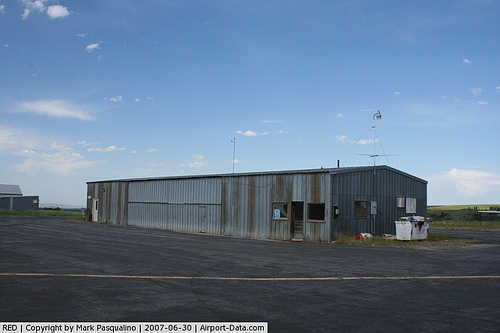 |
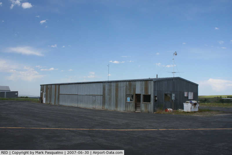
(Click on the photo to enlarge) |
Location & QuickFacts
| FAA Information Effective: | 2008-09-25 |
| Airport Identifier: | RED |
| Airport Status: | Operational |
| Longitude/Latitude: | 109-16-02.5600W/45-11-14.8010N
-109.267378/45.187445 (Estimated) |
| Elevation: | 5763 ft / 1756.56 m (Surveyed) |
| Land: | 212 acres |
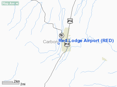
| From nearest city: | 1 nautical miles NW of Red Lodge, MT |
| Location: | Carbon County, MT |
| Magnetic Variation: | 15E (1985) |
Owner & Manager
| Ownership: | Publicly owned |
| Owner: | City Of Red Lodge- Carbon Co |
| Address: | County Courthouse
Red Lodge, MT 59068 |
| Phone number: | 406-446-4467 |
| Manager: | Darrell Lowe |
| Address: | Po Box 151
|
| Phone number: | 406-446-2444 |
Airport Operations and Facilities
| Airport Use: | Open to public |
| Wind indicator: | Yes |
| Segmented Circle: | Yes |
| Control Tower: | No |
| Lighting Schedule: | DUSK-DAWN
ACTVT MIRL RY 16/34 & VASI RY 16 - CTAF. |
| Beacon Color: | Clear-Green (lighted land airport) |
| Landing fee charge: | No |
| Sectional chart: | Great Falls |
| Region: | ANM - Northwest Mountain |
| Boundary ARTCC: | ZLC - Salt Lake City |
| Tie-in FSS: | GTF - Great Falls |
| FSS on Airport: | No |
| FSS Toll Free: | 1-800-WX-BRIEF |
| NOTAMs Facility: | GTF (NOTAM-d service avaliable) |
| Federal Agreements: | NGY |
Airport Communications
Airport Services
| Fuel available: | 100LLA
FOR FUEL CALL 406-328-7408. |
| Airframe Repair: | MINOR |
| Power Plant Repair: | MINOR |
| Bottled Oxygen: | NONE |
| Bulk Oxygen: | NONE |
Runway Information
Runway 16/34
| Dimension: | 4000 x 75 ft / 1219.2 x 22.9 m |
| Surface: | ASPH, Good Condition |
| Weight Limit: | Single wheel: 4000 lbs.
Dual wheel: 6000 lbs. |
| Edge Lights: | Medium |
| |
Runway 16 |
Runway 34 |
| Traffic Pattern: | Left | Left |
| Markings: | Basic, Good Condition | Basic, Good Condition |
| Crossing Height: | 27.00 ft | 0.00 ft |
| VASI: | 2-box on left side | |
| Visual Glide Angle: | 3.00° | 0.00° |
| Obstruction: | 15 ft road, 490.0 ft from runway, 19:1 slope to clear | 10 ft road, 288.0 ft from runway, 8:1 slope to clear
+10 FT RD 115 FT R; +4 FT FENCE 111 FT R; BOTH CROSS EXTNDD RY CNTRLN 288 FT FM THR. ALSO STEEP TERRAIN DROPOFF TO -400 FT APROXLY 127 FT R. |
|
Radio Navigation Aids
| ID |
Type |
Name |
Ch |
Freq |
Var |
Dist |
| RED | NDB | Red Lodge | | 203.00 | 17E | 3.2 nm |
| POY | NDB | Powell | | 344.00 | 15E | 28.1 nm |
| HCY | NDB | Cowley | | 257.00 | 14E | 38.7 nm |
| COD | VOR/DME | Cody | 055X | 111.80 | 14E | 36.4 nm |
| BIL | VORTAC | Billings | 092X | 114.50 | 14E | 46.1 nm |
Remarks
- PHONE ON FLD.
- WILDLIFE ON & INVOF ARPT.
Images and information placed above are from
http://www.airport-data.com/airport/RED/
We thank them for the data!
| General Info
|
| Country |
United States
|
| State |
MONTANA
|
| FAA ID |
RED
|
| Latitude |
45-11-14.801N
|
| Longitude |
109-16-02.560W
|
| Elevation |
5763 feet
|
| Near City |
RED LODGE
|
We don't guarantee the information is fresh and accurate. The data may
be wrong or outdated.
For more up-to-date information please refer to other sources.
|
|