 |
|
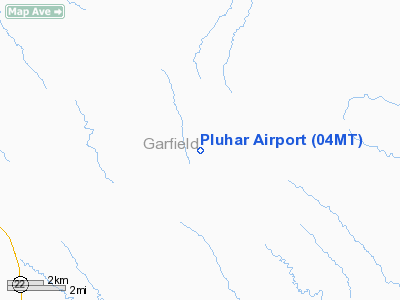
Location & QuickFacts
| FAA Information Effective: | 2008-09-25 |
| Airport Identifier: | 04MT |
| Airport Status: | Operational |
| Longitude/Latitude: | 106-29-17.1420W/47-08-14.9920N
-106.488095/47.137498 (Estimated) |
| Elevation: | 2715 ft / 827.53 m (Estimated) |
| Land: | 0 acres |
| From nearest city: | 13 nautical miles NE of Cohagen, MT |
| Location: | Garfield County, MT |
| Magnetic Variation: | 14E (1985) |
Owner & Manager
| Ownership: | Privately owned |
| Address: |
|
| Manager: | Charles Pluhar |
| Address: |
Cohagen, MT 59322 |
| Phone number: | 406-435-2809 |
Airport Operations and Facilities
| Airport Use: | Private |
| Wind indicator: | Yes |
| Segmented Circle: | No |
| Control Tower: | No |
| Landing fee charge: | No |
| Sectional chart: | Billings |
| Region: | ANM - Northwest Mountain |
| Boundary ARTCC: | ZLC - Salt Lake City |
| Tie-in FSS: | GTF - Great Falls |
| FSS on Airport: | No |
| FSS Toll Free: | 1-800-WX-BRIEF |
Airport Services
| Airframe Repair: | NONE |
| Power Plant Repair: | NONE |
Runway Information
Runway E/W
| Dimension: | 2100 x 100 ft / 640.1 x 30.5 m |
| Surface: | TURF, |
| |
Runway E |
Runway W |
| Traffic Pattern: | Left | Left |
|
Runway N/S
| Dimension: | 1900 x 100 ft / 579.1 x 30.5 m |
| Surface: | TURF, |
| |
Runway N |
Runway S |
| Traffic Pattern: | Left | Left |
|
Radio Navigation Aids
| ID |
Type |
Name |
Ch |
Freq |
Var |
Dist |
| JDN | NDB | Jordan | | 263.00 | 16E | 21.8 nm |
| CRR | NDB | Circle | | 245.00 | 15E | 41.5 nm |
| HTN | NDB | Horton | | 320.00 | 15E | 49.1 nm |
Remarks
Images and information placed above are from
http://www.airport-data.com/airport/04MT/
We thank them for the data!
| General Info
|
| Country |
United States
|
| State |
MONTANA
|
| FAA ID |
04MT
|
| Latitude |
47-08-14.992N
|
| Longitude |
106-29-17.142W
|
| Elevation |
2715 feet
|
| Near City |
COHAGEN
|
We don't guarantee the information is fresh and accurate. The data may
be wrong or outdated.
For more up-to-date information please refer to other sources.
|
|


