 |
|
Location & QuickFacts
| FAA Information Effective: | 2008-09-25 |
| Airport Identifier: | 0MT7 |
| Airport Status: | Operational |
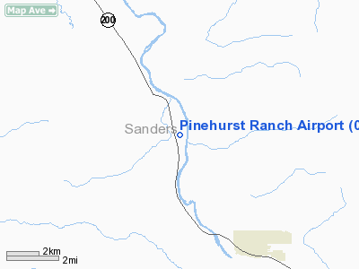
| Longitude/Latitude: | 115-24-14.6000W/47-39-38.8000N
-115.404056/47.660778 (Estimated) |
| Elevation: | 2460 ft / 749.81 m (Estimated) |
| Land: | 200 acres |
| From nearest city: | 5 nautical miles NW of Thompson Falls, MT |
| Location: | Sanders County, MT |
| Magnetic Variation: | 18E (1995) |
Owner & Manager
| Ownership: | Privately owned |
| Owner: | Kurt Tedhams |
| Address: | Box 1299
Thompson Falls, MT 59875 |
| Phone number: | 406-827-4411 |
| Manager: | Kurt Tedhams |
| Address: | Box 1299
Thompson Falls, MT 59875 |
| Phone number: | 406-827-4411 |
Airport Operations and Facilities
| Airport Use: | Private |
| Wind indicator: | Yes |
| Segmented Circle: | No |
| Control Tower: | No |
| Sectional chart: | Great Falls |
| Region: | ANM - Northwest Mountain |
| Boundary ARTCC: | ZSE - Seattle |
| Tie-in FSS: | GTF - Great Falls |
| FSS on Airport: | No |
| FSS Toll Free: | 1-800-WX-BRIEF |
Runway Information
Runway 14/32
| Dimension: | 3800 x 50 ft / 1158.2 x 15.2 m |
| Surface: | TURF, |
| |
Runway 14 |
Runway 32 |
| Traffic Pattern: | Left | Left |
| Obstruction: | 50 ft trees, 100.0 ft from runway | |
|
Radio Navigation Aids
| ID |
Type |
Name |
Ch |
Freq |
Var |
Dist |
| LYI | NDB | Libby | | 414.00 | 17E | 38.9 nm |
| SAK | NDB | Smith Lake | | 515.00 | 18E | 46.6 nm |
| PLS | NDB | Polson | | 275.00 | 20E | 49.3 nm |
| MLP | VOR/DME | Mullan Pass | 125X | 117.80 | 20E | 15.7 nm |
Remarks
Images and information placed above are from
http://www.airport-data.com/airport/0MT7/
We thank them for the data!
| General Info
|
| Country |
United States
|
| State |
MONTANA
|
| FAA ID |
0MT7
|
| Latitude |
47-39-38.800N
|
| Longitude |
115-24-14.600W
|
| Elevation |
2460 feet
|
| Near City |
THOMPSON FALLS
|
We don't guarantee the information is fresh and accurate. The data may
be wrong or outdated.
For more up-to-date information please refer to other sources.
|
|


