 |
|
Location & QuickFacts
| FAA Information Effective: | 2008-09-25 |
| Airport Identifier: | S00 |
| Airport Status: | Operational |
| Longitude/Latitude: | 106-25-02.1150W/48-52-00.0900N
-106.417254/48.866692 (Estimated) |
| Elevation: | 3264 ft / 994.87 m (Surveyed) |
| Land: | 75 acres |
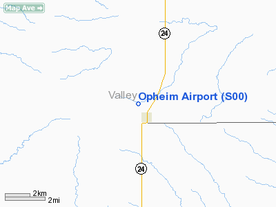
| From nearest city: | 0 nautical miles W of Opheim, MT |
| Location: | Valley County, MT |
| Magnetic Variation: | 14E (1985) |
Owner & Manager
| Ownership: | Publicly owned |
| Owner: | Opheim & Valley Co |
| Address: | City Hall
Opheim, MT 59250 |
| Phone number: | 406-762-3355 |
| Manager: | Bob Tymofichuk |
| Address: | Box 14
Opheim, MT 59250 |
| Phone number: | 406-762-3355 |
Airport Operations and Facilities
| Airport Use: | Open to public |
| Wind indicator: | Yes |
| Segmented Circle: | Yes |
| Control Tower: | No |
| Lighting Schedule: | DUSK-DAWN |
| Beacon Color: | Clear-Green (lighted land airport)
ROTG BCN OTS INDEFLY. |
| Landing fee charge: | No |
| Sectional chart: | Billings |
| Region: | ANM - Northwest Mountain |
| Boundary ARTCC: | ZLC - Salt Lake City |
| Tie-in FSS: | GTF - Great Falls |
| FSS on Airport: | No |
| FSS Toll Free: | 1-800-WX-BRIEF |
| NOTAMs Facility: | GTF (NOTAM-d service avaliable) |
| Federal Agreements: | 1 |
Airport Communications
Airport Services
| Airframe Repair: | NONE |
| Power Plant Repair: | NONE |
| Bottled Oxygen: | NONE |
| Bulk Oxygen: | NONE |
Runway Information
Runway 04/22
| Dimension: | 1555 x 100 ft / 474.0 x 30.5 m |
| Surface: | TURF, Fair Condition |
| |
Runway 04 |
Runway 22 |
| Traffic Pattern: | Left | Left |
| Obstruction: | , 50:1 slope to clear | 11 ft road, 25.0 ft from runway, 2:1 slope to clear |
|
Runway 10/28
| Dimension: | 1200 x 100 ft / 365.8 x 30.5 m |
| Surface: | TURF, Fair Condition |
| |
Runway 10 |
Runway 28 |
| Traffic Pattern: | Left | Left |
| Obstruction: | , 50:1 slope to clear | 15 ft road, 90.0 ft from runway, 6:1 slope to clear |
|
Runway 16/34
| Dimension: | 2675 x 150 ft / 815.3 x 45.7 m |
| Surface: | TURF, Good Condition |
| Edge Lights: | Low |
| |
Runway 16 |
Runway 34 |
| Traffic Pattern: | Left | Left |
| Obstruction: | 5 ft fence-m, 117.0 ft from runway, 23:1 slope to clear | 18 ft road, 467.0 ft from runway, 25:1 slope to clear |
|
Radio Navigation Aids
| ID |
Type |
Name |
Ch |
Freq |
Var |
Dist |
| SCO | NDB | Scobey | | 283.00 | 16E | 39.0 nm |
| MKR | NDB | Milk River | | 339.00 | 14E | 40.5 nm |
| GGW | VOR/DME | Glasgow | 086X | 113.90 | 14E | 40.0 nm |
Remarks
- RY 22 +2' BERM, 5' FM RY END. +11' ROAD 46' FROM RY END, ALL CROSSING EXTENDED RY CL..
- NO SNOW REMOVAL.
- RY 22 HAS FENCE PARALLEL RY - 10 FT L 372 FT.
- RY 28 HAS FENCE 20 FT L OF THLD.
- ARPT CONSTRUCTED PRIOR TO 1959.
Images and information placed above are from
http://www.airport-data.com/airport/S00/
We thank them for the data!
| General Info
|
| Country |
United States
|
| State |
MONTANA
|
| FAA ID |
S00
|
| Latitude |
48-52-00.090N
|
| Longitude |
106-25-02.115W
|
| Elevation |
3264 feet
|
| Near City |
OPHEIM
|
We don't guarantee the information is fresh and accurate. The data may
be wrong or outdated.
For more up-to-date information please refer to other sources.
|
|


