 |
|
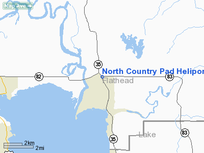
North Country Pad Heliport |
Location & QuickFacts
| FAA Information Effective: | 2008-09-25 |
| Airport Identifier: | MT91 |
| Airport Status: | Operational |
| Longitude/Latitude: | 114-05-18.4140W/48-05-42.8370N
-114.088448/48.095233 (Estimated) |
| Elevation: | 3000 ft / 914.40 m (Estimated) |
| Land: | 2 acres |
| From nearest city: | 3 nautical miles N of Bigfork, MT |
| Location: | Flathead County, MT |
| Magnetic Variation: | 18E (1990) |
Owner & Manager
| Ownership: | Privately owned |
| Owner: | Lloyd Meissenburg |
| Address: | 7583 Montana Highway 35
Bigfork, MT 59911 |
| Phone number: | 406-837-3005 |
| Manager: | Noel S. Geray |
| Address: | P.o. Box 1589
Bigfork, MT 59911 |
| Phone number: | 406-837-5664 |
Airport Operations and Facilities
| Airport Use: | Private |
| Wind indicator: | Yes |
| Segmented Circle: | No |
| Control Tower: | No |
| Sectional chart: | Great Falls |
| Region: | ANM - Northwest Mountain |
| Boundary ARTCC: | ZLC - Salt Lake City |
| Tie-in FSS: | GTF - Great Falls |
| FSS Toll Free: | 1-800-WX-BRIEF |
Runway Information
Helipad H1
| Dimension: | 40 x 40 ft / 12.2 x 12.2 m |
| Surface: | ASPH, |
| |
Runway H1 |
Runway |
| Traffic Pattern: | Left | Left |
|
Radio Navigation Aids
| ID |
Type |
Name |
Ch |
Freq |
Var |
Dist |
| SAK | NDB | Smith Lake | | 515.00 | 18E | 15.0 nm |
| PLS | NDB | Polson | | 275.00 | 20E | 24.3 nm |
| FCA | VOR/DME | Kalispell | 079X | 113.20 | 18E | 8.0 nm |
Images and information placed above are from
http://www.airport-data.com/airport/MT91/
We thank them for the data!
| General Info
|
| Country |
United States
|
| State |
MONTANA
|
| FAA ID |
MT91
|
| Latitude |
48-05-42.837N
|
| Longitude |
114-05-18.414W
|
| Elevation |
3000 feet
|
| Near City |
BIGFORK
|
We don't guarantee the information is fresh and accurate. The data may
be wrong or outdated.
For more up-to-date information please refer to other sources.
|
|


