 |
|
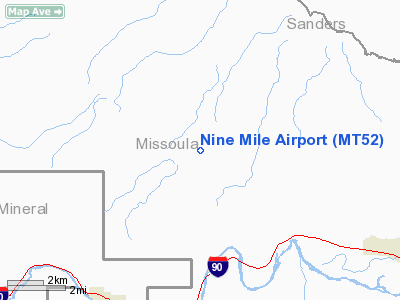
Location & QuickFacts
| FAA Information Effective: | 2008-09-25 |
| Airport Identifier: | MT52 |
| Airport Status: | Operational |
| Longitude/Latitude: | 114-24-45.4340W/47-04-39.7220N
-114.412621/47.077701 (Estimated) |
| Elevation: | 3364 ft / 1025.35 m (Surveyed) |
| Land: | 0 acres |
| From nearest city: | 4 nautical miles NW of Huson, MT |
| Location: | Missoula County, MT |
| Magnetic Variation: | 18E (1985) |
Owner & Manager
| Ownership: | Publicly owned |
| Owner: | U.s. Forest Service; Lolo Nat'l For |
| Address: | Ninemile Ranger District, 20325 Remount Road
Huson, MT 59846 |
| Phone number: | 406-626-5201 |
| Manager: | Laura Ward, Fire Mgr |
| Address: | Lolo Nat'l Forest; Ninemile Rd, 20325 Remont Road
Huson, MT 59846 |
| Phone number: | 406-626-5422 |
Airport Operations and Facilities
| Airport Use: | Private |
| Wind indicator: | Yes |
| Segmented Circle: | No |
| Control Tower: | No |
| Landing fee charge: | No |
| Sectional chart: | Great Falls |
| Region: | ANM - Northwest Mountain |
| Boundary ARTCC: | ZLC - Salt Lake City |
| Tie-in FSS: | GTF - Great Falls |
| FSS on Airport: | No |
| FSS Toll Free: | 1-800-WX-BRIEF |
Runway Information
Runway 16/34
| Dimension: | 2640 x 100 ft / 804.7 x 30.5 m |
| Surface: | TURF, |
| |
Runway 16 |
Runway 34 |
| Traffic Pattern: | Left | Left |
|
Radio Navigation Aids
| ID |
Type |
Name |
Ch |
Freq |
Var |
Dist |
| INE | NDB | Konna | | 521.00 | 17E | 1.2 nm |
| PLS | NDB | Polson | | 275.00 | 20E | 38.3 nm |
| MSO | VOR/DME | Missoula | 075X | 112.80 | 17E | 16.9 nm |
Images and information placed above are from
http://www.airport-data.com/airport/MT52/
We thank them for the data!
| General Info
|
| Country |
United States
|
| State |
MONTANA
|
| FAA ID |
MT52
|
| Latitude |
47-04-39.722N
|
| Longitude |
114-24-45.434W
|
| Elevation |
3364 feet
|
| Near City |
HUSON
|
We don't guarantee the information is fresh and accurate. The data may
be wrong or outdated.
For more up-to-date information please refer to other sources.
|
|


