 |
|
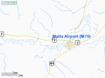
Location & QuickFacts
| FAA Information Effective: | 2008-09-25 |
| Airport Identifier: | M75 |
| Airport Status: | Operational |
| Longitude/Latitude: | 107-55-09.6000W/48-22-01.0000N
-107.919333/48.366944 (Estimated) |
| Elevation: | 2254 ft / 687.02 m (Surveyed) |
| Land: | 280 acres |
| From nearest city: | 1 nautical miles NW of Malta, MT |
| Location: | Phillips County, MT |
| Magnetic Variation: | 15E (1985) |
Owner & Manager
| Ownership: | Publicly owned |
| Owner: | Phillips City Arpt Authority |
| Address: | Box 1242
Malta, MT 59538 |
| Phone number: | 406-654-1143 |
| Manager: | Dixon Hitch |
| Address: | Box 1242
Malta, MT 59538 |
| Phone number: | 406-654-1143
OR 654-7343 (CELL) |
Airport Operations and Facilities
| Airport Use: | Open to public |
| Wind indicator: | Yes |
| Segmented Circle: | Yes |
| Control Tower: | No |
| Lighting Schedule: | DUSK-DAWN
MIRL RY 08/26 AND PAPI RYS 08 & 26 OPER DUSK-2400, AFTER 2400 ACTVT - CTAF. |
| Beacon Color: | Clear-Green (lighted land airport) |
| Landing fee charge: | No |
| Sectional chart: | Billings |
| Region: | ANM - Northwest Mountain |
| Boundary ARTCC: | ZLC - Salt Lake City |
| Tie-in FSS: | GTF - Great Falls |
| FSS on Airport: | No |
| FSS Toll Free: | 1-800-WX-BRIEF |
| Federal Agreements: | NGY |
Airport Communications
| CTAF: | 122.800 |
| Unicom: | 122.800
AUTOMATED UNICOM. |
Airport Services
| Fuel available: | 100LLA |
| Airframe Repair: | MAJOR |
| Power Plant Repair: | MAJOR |
Runway Information
Runway 08/26
| Dimension: | 4500 x 75 ft / 1371.6 x 22.9 m |
| Surface: | ASPH, Good Condition |
| Weight Limit: | Single wheel: 12500 lbs. |
| Edge Lights: | Medium |
| |
Runway 08 |
Runway 26 |
| Longitude: | 107-55-42.9571W | 107-54-36.3279W |
| Latitude: | 48-22-00.7255N | 48-22-01.2487N |
| Elevation: | 2254.00 ft | 2253.00 ft |
| Alignment: | 89 | 127 |
| Traffic Pattern: | Left | Left |
| Markings: | Basic, Fair Condition | Basic, Fair Condition |
| Crossing Height: | 25.00 ft | 25.00 ft |
| VASI: | 2-light PAPI on left side | 2-light PAPI on left side |
| Visual Glide Angle: | 3.00° | 3.00° |
|
Radio Navigation Aids
| ID |
Type |
Name |
Ch |
Freq |
Var |
Dist |
| MLK | NDB | Malta | | 272.00 | 17E | 0.7 nm |
Images and information placed above are from
http://www.airport-data.com/airport/M75/
We thank them for the data!
| General Info
|
| Country |
United States
|
| State |
MONTANA
|
| FAA ID |
M75
|
| Latitude |
48-22-00.990N
|
| Longitude |
107-55-09.640W
|
| Elevation |
2254 feet
|
| Near City |
MALTA
|
We don't guarantee the information is fresh and accurate. The data may
be wrong or outdated.
For more up-to-date information please refer to other sources.
|
|


