 |
|
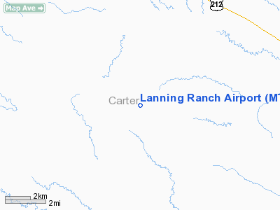
Location & QuickFacts
| FAA Information Effective: | 2008-09-25 |
| Airport Identifier: | MT50 |
| Airport Status: | Operational |
| Longitude/Latitude: | 104-49-09.8940W/45-05-15.9490N
-104.819415/45.087764 (Estimated) |
| Elevation: | 3995 ft / 1217.68 m (Estimated) |
| Land: | 0 acres |
| From nearest city: | 18 nautical miles NW of Alzada, MT |
| Location: | Carter County, MT |
| Magnetic Variation: | 12E (1985) |
Owner & Manager
| Ownership: | Privately owned |
| Owner: | Danny Lanning |
| Address: | 200 Lanning Trail
Alzada, MT 59311 |
| Phone number: | 406-828-4522 |
| Address: |
|
Airport Operations and Facilities
| Airport Use: | Private |
| Wind indicator: | Yes |
| Segmented Circle: | No |
| Control Tower: | No |
| Landing fee charge: | No |
| Sectional chart: | Billings |
| Region: | ANM - Northwest Mountain |
| Boundary ARTCC: | ZDV - Denver |
| Tie-in FSS: | GTF - Great Falls |
| FSS on Airport: | No |
| FSS Toll Free: | 1-800-WX-BRIEF |
Runway Information
Runway 16/34
| Dimension: | 3000 x 100 ft / 914.4 x 30.5 m |
| Surface: | TURF, |
| |
Runway 16 |
Runway 34 |
| Traffic Pattern: | Left | Left |
|
Radio Navigation Aids
| ID |
Type |
Name |
Ch |
Freq |
Var |
Dist |
| BDX | NDB | Broadus | | 335.00 | 15E | 32.6 nm |
| EFC | NDB | Belle Fourche | | 269.00 | 11E | 46.0 nm |
Remarks
- FILED FOR RECORD PURPOSES ONLY.
Images and information placed above are from
http://www.airport-data.com/airport/MT50/
We thank them for the data!
| General Info
|
| Country |
United States
|
| State |
MONTANA
|
| FAA ID |
MT50
|
| Latitude |
45-05-15.949N
|
| Longitude |
104-49-09.894W
|
| Elevation |
3995 feet
|
| Near City |
ALZADA
|
We don't guarantee the information is fresh and accurate. The data may
be wrong or outdated.
For more up-to-date information please refer to other sources.
|
|


