 |
|
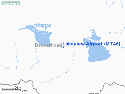
Location & QuickFacts
| FAA Information Effective: | 2008-09-25 |
| Airport Identifier: | MT46 |
| Airport Status: | Operational |
| Longitude/Latitude: | 111-47-52.8860W/44-37-01.6990N
-111.798024/44.617139 (Estimated) |
| Elevation: | 6630 ft / 2020.82 m (Estimated) |
| Land: | 4 acres |
| From nearest city: | 1 nautical miles N of Lakeview, MT |
| Location: | Beaverhead County, MT |
| Magnetic Variation: | 16E (1985) |
Owner & Manager
| Ownership: | Publicly owned |
| Owner: | Us Dept Of Interior |
| Address: | Monida Star Route
Lima, MT 59739 |
| Phone number: | 406-276-3347 |
| Address: |
|
Airport Operations and Facilities
| Airport Use: | Private |
| Wind indicator: | Yes |
| Segmented Circle: | No |
| Control Tower: | No |
| Landing fee charge: | No |
| Sectional chart: | Great Falls |
| Region: | ANM - Northwest Mountain |
| Boundary ARTCC: | ZLC - Salt Lake City |
| Tie-in FSS: | GTF - Great Falls |
| FSS on Airport: | No |
| FSS Toll Free: | 1-800-WX-BRIEF |
Runway Information
Runway N/S
| Dimension: | 3150 x 50 ft / 960.1 x 15.2 m |
| Surface: | TURF, |
| |
Runway N |
Runway S |
| Traffic Pattern: | Left | Left |
|
Radio Navigation Aids
| ID |
Type |
Name |
Ch |
Freq |
Var |
Dist |
| LO | NDB | Targy | | 415.00 | 16E | 25.8 nm |
| ESY | NDB | Yellowstone | | 338.00 | 17E | 29.3 nm |
| EKS | NDB | Ennis | | 286.00 | 15E | 39.5 nm |
| DLN | VOR/DME | Dillon | 077X | 113.00 | 18E | 49.6 nm |
| DBS | VORTAC | Dubois | 116X | 116.90 | 15E | 36.3 nm |
Remarks
- CTN:WATERFOWL ON & INVOF OF ARPT.
Images and information placed above are from
http://www.airport-data.com/airport/MT46/
We thank them for the data!
| General Info
|
| Country |
United States
|
| State |
MONTANA
|
| FAA ID |
MT46
|
| Latitude |
44-37-01.699N
|
| Longitude |
111-47-52.886W
|
| Elevation |
6630 feet
|
| Near City |
LAKEVIEW
|
We don't guarantee the information is fresh and accurate. The data may
be wrong or outdated.
For more up-to-date information please refer to other sources.
|
|


