 |
|
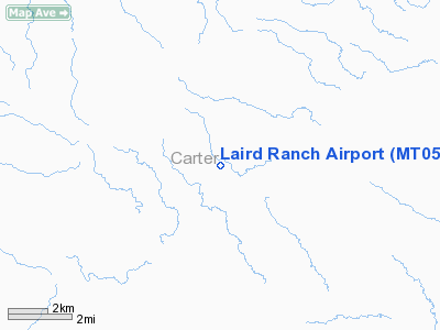
Location & QuickFacts
| FAA Information Effective: | 2008-09-25 |
| Airport Identifier: | MT05 |
| Airport Status: | Operational |
| Longitude/Latitude: | 104-42-11.8540W/45-40-04.9830N
-104.703293/45.668051 (Estimated) |
| Elevation: | 3462 ft / 1055.22 m (Surveyed) |
| Land: | 0 acres |
| From nearest city: | 15 nautical miles SW of Ekalaka, MT |
| Location: | Carter County, MT |
| Magnetic Variation: | 12E (1985) |
Owner & Manager
| Ownership: | Privately owned |
| Owner: | Erlend Laird |
| Address: | Box 231
Ekalaka, MT 59324 |
| Phone number: | 406-775-6458 |
| Manager: | Erlend Laird |
| Address: | Box 231
Ekalaka, MT 59324 |
| Phone number: | 406-775-6458 |
Airport Operations and Facilities
| Airport Use: | Private |
| Wind indicator: | Yes |
| Segmented Circle: | No |
| Control Tower: | No |
| Landing fee charge: | No |
| Sectional chart: | Billings |
| Region: | ANM - Northwest Mountain |
| Boundary ARTCC: | ZLC - Salt Lake City |
| Tie-in FSS: | GTF - Great Falls |
| FSS on Airport: | No |
| FSS Toll Free: | 1-800-WX-BRIEF |
Airport Services
| Airframe Repair: | NONE |
| Power Plant Repair: | NONE |
Runway Information
Runway 12/30
| Dimension: | 2600 x 60 ft / 792.5 x 18.3 m |
| Surface: | TURF, |
| |
Runway 12 |
Runway 30 |
| Traffic Pattern: | Left | Left |
|
Radio Navigation Aids
| ID |
Type |
Name |
Ch |
Freq |
Var |
Dist |
| BDX | NDB | Broadus | | 335.00 | 15E | 32.9 nm |
| BKU | NDB | Timber | | 344.00 | 12E | 44.9 nm |
Images and information placed above are from
http://www.airport-data.com/airport/MT05/
We thank them for the data!
| General Info
|
| Country |
United States
|
| State |
MONTANA
|
| FAA ID |
MT05
|
| Latitude |
45-40-04.983N
|
| Longitude |
104-42-11.854W
|
| Elevation |
3462 feet
|
| Near City |
EKALAKA
|
We don't guarantee the information is fresh and accurate. The data may
be wrong or outdated.
For more up-to-date information please refer to other sources.
|
|


