 |
|
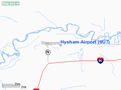
Location & QuickFacts
| FAA Information Effective: | 2008-09-25 |
| Airport Identifier: | 6U7 |
| Airport Status: | Operational |
| Longitude/Latitude: | 107-11-45.2200W/46-17-21.9560N
-107.195894/46.289432 (Estimated) |
| Elevation: | 2624 ft / 799.80 m (Estimated) |
| Land: | 40 acres |
| From nearest city: | 2 nautical miles E of Hysham, MT |
| Location: | Treasure County, MT |
| Magnetic Variation: | 14E (1985) |
Owner & Manager
| Ownership: | Publicly owned |
| Owner: | Treasure County |
| Address: | County Courthouse
Hysham, MT 59038 |
| Phone number: | 406-342-5547 |
| Manager: | Bob Miller
CHMN,COUNTY ARPT BOARD. |
| Address: | 388 Old Highway 10
Sanders, MT 59076 |
| Phone number: | 406-342-5252
OR 406-342-5660 FOR MORRIS SPANAGEL. |
Airport Operations and Facilities
| Airport Use: | Open to public |
| Wind indicator: | Yes |
| Segmented Circle: | Yes |
| Control Tower: | No |
| Lighting Schedule: | DUSK-DAWN
ACTVT LIRL RY 07/25 - CTAF. |
| Beacon Color: | Clear-Green (lighted land airport) |
| Landing fee charge: | No |
| Sectional chart: | Billings |
| Region: | ANM - Northwest Mountain |
| Boundary ARTCC: | ZLC - Salt Lake City |
| Tie-in FSS: | GTF - Great Falls |
| FSS on Airport: | No |
| FSS Toll Free: | 1-800-WX-BRIEF |
| NOTAMs Facility: | GTF (NOTAM-d service avaliable) |
Airport Communications
Airport Services
| Airframe Repair: | NONE |
| Power Plant Repair: | NONE |
| Bottled Oxygen: | NONE |
| Bulk Oxygen: | NONE |
Runway Information
Runway 07/25
| Dimension: | 3060 x 45 ft / 932.7 x 13.7 m |
| Surface: | ASPH-TRTD, Good Condition |
| Edge Lights: | Low
NUMEROUS RY LGTS INOP. |
| |
Runway 07 |
Runway 25 |
| Traffic Pattern: | Left | Left |
|
Radio Navigation Aids
| ID |
Type |
Name |
Ch |
Freq |
Var |
Dist |
| FOR | NDB | Forsyth | | 236.00 | 14E | 28.2 nm |
Remarks
- BTWN RY ENDS OF SOUTH SIDE OF RY IS +3 EARTH BERM; 86 FT FM RY CNTRLN & -6 FT IRRIGATION DITCH 102 FT FM RY CNTRLN; BOTH PARALLEL TO RY.
Images and information placed above are from
http://www.airport-data.com/airport/6U7/
We thank them for the data!
| General Info
|
| Country |
United States
|
| State |
MONTANA
|
| FAA ID |
6U7
|
| Latitude |
46-17-21.956N
|
| Longitude |
107-11-45.220W
|
| Elevation |
2624 feet
|
| Near City |
HYSHAM
|
We don't guarantee the information is fresh and accurate. The data may
be wrong or outdated.
For more up-to-date information please refer to other sources.
|
|


