 |
|
Location & QuickFacts
| FAA Information Effective: | 2008-09-25 |
| Airport Identifier: | 26MT |
| Airport Status: | Operational |
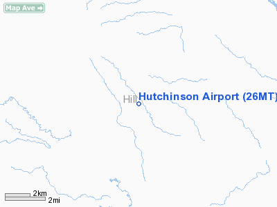
| Longitude/Latitude: | 110-26-31.2600W/48-50-08.2800N
-110.442017/48.835633 (Estimated) |
| Elevation: | 2900 ft / 883.92 m (Estimated) |
| Land: | 20 acres |
| From nearest city: | 17 nautical miles N of Hingham, MT |
| Location: | Hill County, MT |
| Magnetic Variation: | () |
Owner & Manager
| Ownership: | Privately owned |
| Owner: | Darrold K. Hutchinson |
| Address: | P.o. Box 212
Hingham, MT 59528 |
| Phone number: | 406-355-4968 |
| Manager: | Darrold K. Hutchinson |
| Address: | P.o. Box 212
Hingham, MT 59528 |
| Phone number: | 406-355-4968 |
Airport Operations and Facilities
| Airport Use: | Private |
| Wind indicator: | Yes |
| Control Tower: | No |
| Sectional chart: | Great Falls |
| Region: | ANM - Northwest Mountain |
| Boundary ARTCC: | ZLC - Salt Lake City |
| Tie-in FSS: | GTF - Great Falls |
| FSS Toll Free: | 1-800-WX-BRIEF |
Runway Information
Runway 07/25
| Dimension: | 1980 x 40 ft / 603.5 x 12.2 m |
| Surface: | TURF, |
| |
Runway 07 |
Runway 25 |
| Traffic Pattern: | Left | Left |
|
Runway 16/34
| Dimension: | 3400 x 40 ft / 1036.3 x 12.2 m |
| Surface: | TURF, |
| |
Runway 16 |
Runway 34 |
| Traffic Pattern: | Left | Left |
| Obstruction: | 50 ft trees, 250.0 ft from runway | |
|
Radio Navigation Aids
| ID |
Type |
Name |
Ch |
Freq |
Var |
Dist |
| LTY | NDB | Chester | | 323.00 | 15E | 29.1 nm |
| LDS | NDB | Leeds | | 389.00 | 16E | 34.6 nm |
| HVR | VOR/DME | Havre | 055X | 111.80 | 16E | 32.0 nm |
Images and information placed above are from
http://www.airport-data.com/airport/26MT/
We thank them for the data!
We don't guarantee the information is fresh and accurate. The data may
be wrong or outdated.
For more up-to-date information please refer to other sources.
|
|


