 |
|
Location & QuickFacts
| FAA Information Effective: | 2008-09-25 |
| Airport Identifier: | 1MT5 |
| Airport Status: | Operational |
| Longitude/Latitude: | 105-49-42.6300W/46-23-40.6900N
-105.828508/46.394636 (Estimated) |
| Elevation: | 2372 ft / 722.99 m (Estimated) |
| Land: | 0 acres |
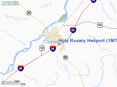
| From nearest city: | 1 nautical miles SE of Miles City, MT |
| Location: | Custer County, MT |
| Magnetic Variation: | 13E (1995) |
Owner & Manager
| Ownership: | Privately owned |
| Owner: | Holy Rosary Health Center |
| Address: | 2600 Wilson St
Miles City, MT 59301 |
| Phone number: | 406-233-2600 |
| Manager: | Clyde Leischnor |
| Address: | 2600 Wilson St
Miles City, MT 59301 |
| Phone number: | 406-233-2619 |
Airport Operations and Facilities
| Airport Use: | Private
MEDICAL USE. |
| Segmented Circle: | Yes |
| Control Tower: | No |
| Lighting Schedule: | PHONE REQ
FOR PERIMETER LGTS CALL 406-233-2603. |
| Sectional chart: | Billings |
| Region: | ANM - Northwest Mountain |
| Boundary ARTCC: | ZLC - Salt Lake City |
| Tie-in FSS: | GTF - Great Falls |
| FSS Toll Free: | 1-800-WX-BRIEF |
Runway Information
Helipad H1
| Dimension: | 40 x 40 ft / 12.2 x 12.2 m |
| Surface: | CONC, |
| |
Runway H1 |
Runway |
| Traffic Pattern: | Left | Left |
|
Radio Navigation Aids
| ID |
Type |
Name |
Ch |
Freq |
Var |
Dist |
| HTN | NDB | Horton | | 320.00 | 15E | 4.7 nm |
| FOR | NDB | Forsyth | | 236.00 | 14E | 29.6 nm |
| MLS | VORTAC | Miles City | 058X | 112.10 | 15E | 5.2 nm |
Images and information placed above are from
http://www.airport-data.com/airport/1MT5/
We thank them for the data!
| General Info
|
| Country |
United States
|
| State |
MONTANA
|
| FAA ID |
1MT5
|
| Latitude |
46-23-40.690N
|
| Longitude |
105-49-42.630W
|
| Elevation |
2372 feet
|
| Near City |
MILES CITY
|
We don't guarantee the information is fresh and accurate. The data may
be wrong or outdated.
For more up-to-date information please refer to other sources.
|
|


