 |
|
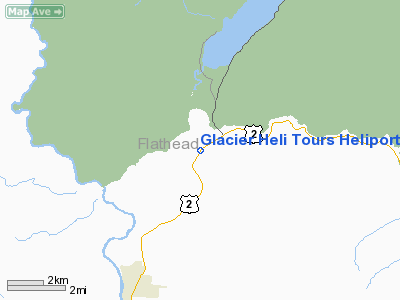
Glacier Heli Tours Heliport |
Location & QuickFacts
| FAA Information Effective: | 2008-09-25 |
| Airport Identifier: | 0MT8 |
| Airport Status: | Operational |
| Longitude/Latitude: | 113-59-52.0000W/48-29-12.0000N
-113.997778/48.486667 (Estimated) |
| Elevation: | 3300 ft / 1005.84 m (Estimated) |
| Land: | 40 acres |
| From nearest city: | 1 nautical miles SW of West Glacier, MT |
| Location: | Flathead County, MT |
| Magnetic Variation: | 17E (1995) |
Owner & Manager
| Ownership: | Privately owned |
| Owner: | Jerry Mamuzich |
| Address: | Po Box 528
West Glacier, MT 59936 |
| Phone number: | 406-387-4141 |
| Manager: | Jerry Mamuzich |
| Address: | Po Box 528
West Glacier, MT 59936 |
| Phone number: | 406-387-4141 |
Airport Operations and Facilities
| Airport Use: | Private |
| Wind indicator: | Yes |
| Segmented Circle: | No |
| Control Tower: | No |
| Sectional chart: | Great Falls |
| Region: | ANM - Northwest Mountain |
| Boundary ARTCC: | ZLC - Salt Lake City |
| Tie-in FSS: | GTF - Great Falls |
| FSS on Airport: | No |
| FSS Toll Free: | 1-800-WX-BRIEF |
Runway Information
Helipad H1
| Dimension: | 100 x 60 ft / 30.5 x 18.3 m |
| Surface: | ASPH-TURF, |
| |
Runway H1 |
Runway |
| Traffic Pattern: | Left | Left |
|
Radio Navigation Aids
| ID |
Type |
Name |
Ch |
Freq |
Var |
Dist |
| SAK | NDB | Smith Lake | | 515.00 | 18E | 29.3 nm |
| PLS | NDB | Polson | | 275.00 | 20E | 48.1 nm |
| FCA | VOR/DME | Kalispell | 079X | 113.20 | 18E | 17.9 nm |
Remarks
Images and information placed above are from
http://www.airport-data.com/airport/0MT8/
We thank them for the data!
| General Info
|
| Country |
United States
|
| State |
MONTANA
|
| FAA ID |
0MT8
|
| Latitude |
48-29-12.000N
|
| Longitude |
113-59-52.000W
|
| Elevation |
3300 feet
|
| Near City |
WEST GLACIER
|
We don't guarantee the information is fresh and accurate. The data may
be wrong or outdated.
For more up-to-date information please refer to other sources.
|
|


