 |
|
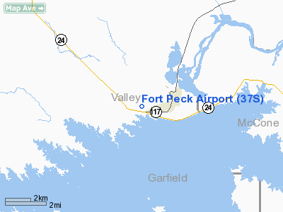
Location & QuickFacts
| FAA Information Effective: | 2008-09-25 |
| Airport Identifier: | 37S |
| Airport Status: | Operational |
| Longitude/Latitude: | 106-28-56.0000W/48-00-18.0000N
-106.482222/48.005000 (Estimated) |
| Elevation: | 2290 ft / 697.99 m () |
| Land: | 50 acres |
| From nearest city: | 1 nautical miles W of Fort Peck, MT |
| Location: | Valley County, MT |
| Magnetic Variation: | 13E (2000) |
Owner & Manager
| Ownership: | Publicly owned |
| Owner: | Valley County/corp Of Engineers |
| Address: | 501 Court Square #14
Glasgow, MT 59230 |
| Phone number: | 406-228-2433 |
| Manager: | Lanny Hanson |
| Address: | P.o. Box 247
Ft Peck, MT 59223 |
| Phone number: | 406-263-1154
ALTERNATE - 406-228-4848. |
Airport Operations and Facilities
| Airport Use: | Open to public |
| Wind indicator: | Yes |
| Segmented Circle: | Yes |
| Control Tower: | No |
| Sectional chart: | Great Falls |
| Region: | ANM - Northwest Mountain |
| Boundary ARTCC: | ZLC - Salt Lake City |
| Tie-in FSS: | GTF - Great Falls |
| FSS Toll Free: | 1-800-WX-BRIEF |
| NOTAMs Facility: | GTF |
Airport Communications
Airport Services
| Fuel available: | 100LL
FOR FUEL CALL 406-228-2433 OR 406-228-4848. |
Runway Information
Runway 05/23
| Dimension: | 2700 x 100 ft / 823.0 x 30.5 m |
| Surface: | TURF, Fair Condition |
| |
Runway 05 |
Runway 23 |
| Traffic Pattern: | Left | Left |
| Obstruction: | 62 ft pline, 1248.0 ft from runway, 71 ft right of centerline, 20:1 slope to clear | 50 ft pline, 660.0 ft from runway |
|
Runway 12/30
| Dimension: | 4100 x 125 ft / 1249.7 x 38.1 m |
| Surface: | TURF, Fair Condition |
| |
Runway 12 |
Runway 30 |
| Traffic Pattern: | Left | Left |
| Displaced threshold: | 1330.00 ft | 0.00 ft |
| Obstruction: | | 45 ft , 1731.0 ft from runway, 39:1 slope to clear |
|
Radio Navigation Aids
| ID |
Type |
Name |
Ch |
Freq |
Var |
Dist |
| MKR | NDB | Milk River | | 339.00 | 14E | 13.5 nm |
| OLF | NDB | Wolf Point | | 404.00 | 11E | 35.9 nm |
| JDN | NDB | Jordan | | 263.00 | 16E | 44.4 nm |
| GGW | VOR/DME | Glasgow | 086X | 113.90 | 14E | 13.9 nm |
Remarks
- ULTRALIGHTS ON AND IN VICINITY OF ARPT.
- PRVDD VFR ONLY.
Images and information placed above are from
http://www.airport-data.com/airport/37S/
We thank them for the data!
| General Info
|
| Country |
United States
|
| State |
MONTANA
|
| FAA ID |
37S
|
| Latitude |
48-00-18.000N
|
| Longitude |
106-28-56.000W
|
| Elevation |
2290 feet
|
| Near City |
FORT PECK
|
We don't guarantee the information is fresh and accurate. The data may
be wrong or outdated.
For more up-to-date information please refer to other sources.
|
|


