 |
|
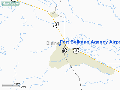
Fort Belknap Agency Airport |
Location & QuickFacts
| FAA Information Effective: | 2008-09-25 |
| Airport Identifier: | U09 |
| Airport Status: | Operational |
| Longitude/Latitude: | 108-46-08.5650W/48-28-51.9880N
-108.769046/48.481108 (Estimated) |
| Elevation: | 2374 ft / 723.60 m (Estimated) |
| Land: | 15 acres |
| From nearest city: | 4 nautical miles SE of Harlem, MT |
| Location: | Blaine County, MT |
| Magnetic Variation: | 16E (1985) |
Owner & Manager
| Ownership: | Privately owned |
| Owner: | Dept Of Interior (bia) |
| Address: | Ft Belknap Agency
Harlem, MT 59526 |
| Phone number: | 406-353-2278 |
| Manager: | Joe Mc Connel |
| Address: | Community Council, Rural Route 1
Harlem, MT 59526 |
| Phone number: | 406-353-2205
EXT 224. |
Airport Operations and Facilities
| Airport Use: | Open to public |
| Wind indicator: | Yes |
| Segmented Circle: | No |
| Control Tower: | No |
| Landing fee charge: | No |
| Sectional chart: | Billings |
| Region: | ANM - Northwest Mountain |
| Boundary ARTCC: | ZLC - Salt Lake City |
| Tie-in FSS: | GTF - Great Falls |
| FSS on Airport: | No |
| FSS Toll Free: | 1-800-WX-BRIEF |
| NOTAMs Facility: | GTF (NOTAM-d service avaliable) |
Airport Communications
Airport Services
| Airframe Repair: | NONE |
| Power Plant Repair: | NONE |
| Bottled Oxygen: | NONE |
| Bulk Oxygen: | NONE |
Runway Information
Runway 10/28
| Dimension: | 3200 x 55 ft / 975.4 x 16.8 m |
| Surface: | ASPH, Good Condition |
| Weight Limit: | Single wheel: 4000 lbs. |
| |
Runway 10 |
Runway 28 |
| Traffic Pattern: | Left | Left |
| Obstruction: | , 50:1 slope to clear
+4' FENCE 61' L PARALLEL TO RY, +4' FENCE 63' RIGHT PARALLEL TO RY. | 42 ft tree, 500.0 ft from runway, 100 ft right of centerline, 7:1 slope to clear
RY 28 +4 FT FENCE 67 FT FM RY END, +15 FT ROAD 99 FT FM RY END, +4 FT FENCE 194 FT FM RY END, ALL CROSSING RY CL EXTDD. +4 FT FENCE PARALLEL TO RY CL 62 FT LEFT. |
|
Helipad H1
| Dimension: | 50 x 50 ft / 15.2 x 15.2 m |
| Surface: | ASPH, Good Condition |
| |
Runway H1 |
Runway |
| Traffic Pattern: | Left | Left |
|
Radio Navigation Aids
| ID |
Type |
Name |
Ch |
Freq |
Var |
Dist |
| MLK | NDB | Malta | | 272.00 | 17E | 34.4 nm |
| LDS | NDB | Leeds | | 389.00 | 16E | 36.9 nm |
| HVR | VOR/DME | Havre | 055X | 111.80 | 16E | 40.0 nm |
Remarks
- FILED FOR RECORD PURPOSES ONLY.
Images and information placed above are from
http://www.airport-data.com/airport/U09/
We thank them for the data!
| General Info
|
| Country |
United States
|
| State |
MONTANA
|
| FAA ID |
U09
|
| Latitude |
48-28-51.988N
|
| Longitude |
108-46-08.565W
|
| Elevation |
2374 feet
|
| Near City |
HARLEM
|
We don't guarantee the information is fresh and accurate. The data may
be wrong or outdated.
For more up-to-date information please refer to other sources.
|
|


