 |
|
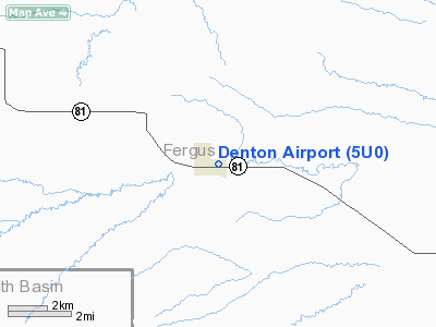
Location & QuickFacts
| FAA Information Effective: | 2008-09-25 |
| Airport Identifier: | 5U0 |
| Airport Status: | Operational |
| Longitude/Latitude: | 109-56-30.7050W/47-19-14.9030N
-109.941862/47.320806 (Estimated) |
| Elevation: | 3592 ft / 1094.84 m (Surveyed) |
| Land: | 0 acres |
| From nearest city: | 0 nautical miles N of Denton, MT |
| Location: | Fergus County, MT |
| Magnetic Variation: | 16E (1985) |
Owner & Manager
| Ownership: | Publicly owned |
| Owner: | Town Of Denton |
| Address: | Po Box 986
Denton, MT 59430 |
| Phone number: | 406-567-2571 |
| Manager: | Jeff Lee
MAYOR OF DENTON HOLDS ROLE OF AIRPORT MANAGER. CONTACT TOWN OF DENTON LIBRARY/TOWN HALL AT 406-567-2571. |
| Address: | Po Box 388
Denton, MT 59430 |
| Phone number: | 406-567-2522 |
Airport Operations and Facilities
| Airport Use: | Open to public |
| Wind indicator: | Yes |
| Segmented Circle: | No |
| Control Tower: | No |
| Landing fee charge: | No |
| Sectional chart: | Great Falls |
| Region: | ANM - Northwest Mountain |
| Boundary ARTCC: | ZLC - Salt Lake City |
| Tie-in FSS: | GTF - Great Falls |
| FSS on Airport: | No |
| FSS Toll Free: | 1-800-WX-BRIEF |
| NOTAMs Facility: | GTF (NOTAM-d service avaliable) |
Airport Communications
Airport Services
| Airframe Repair: | NONE |
| Power Plant Repair: | NONE |
| Bottled Oxygen: | NONE |
| Bulk Oxygen: | NONE |
Runway Information
Runway 09/27
| Dimension: | 2550 x 180 ft / 777.2 x 54.9 m |
| Surface: | TURF, Good Condition
MULTIPLE GOPHER HOLES AND LARGE BADGER HOLES IN RUNWAY, ESPECIALLY EASTERN 900' OF RUNWAY.
NUMEROUS GOPHER HOLES IN RY SURFACE. ONLY CNTR 50 FT OF RY IS MOWED. |
| |
Runway 09 |
Runway 27 |
| Traffic Pattern: | Left | Left |
| Obstruction: | 5 ft fence, 10.0 ft from runway, 2:1 slope to clear | 15 ft road, 43.0 ft from runway, 2:1 slope to clear |
|
Radio Navigation Aids
| ID |
Type |
Name |
Ch |
Freq |
Var |
Dist |
| LWT | NDB | Lewistown | | 353.00 | 17E | 22.5 nm |
| LWT | VORTAC | Lewistown | 057X | 112.00 | 15E | 21.1 nm |
Images and information placed above are from
http://www.airport-data.com/airport/5U0/
We thank them for the data!
| General Info
|
| Country |
United States
|
| State |
MONTANA
|
| FAA ID |
5U0
|
| Latitude |
47-19-14.903N
|
| Longitude |
109-56-30.705W
|
| Elevation |
3592 feet
|
| Near City |
DENTON
|
We don't guarantee the information is fresh and accurate. The data may
be wrong or outdated.
For more up-to-date information please refer to other sources.
|
|


