 |
|
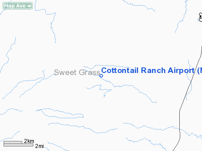
Location & QuickFacts
| FAA Information Effective: | 2008-09-25 |
| Airport Identifier: | MT36 |
| Airport Status: | Operational |
| Longitude/Latitude: | 110-02-49.6740W/46-07-55.8180N
-110.047132/46.132172 (Estimated) |
| Elevation: | 5340 ft / 1627.63 m (Estimated) |
| Land: | 0 acres |
| From nearest city: | 4 nautical miles NW of Melville, MT |
| Location: | Sweet Grass County, MT |
| Magnetic Variation: | 16E (1985) |
Owner & Manager
| Ownership: | Privately owned |
| Owner: | Mark Norem |
| Address: | Melville Route Box 166
Big Timber, MT 59011 |
| Phone number: | 406-537-4562 |
| Manager: | Mark Norem |
| Address: | Melville Route Box 166
Big Timber, MT 59011 |
| Phone number: | 406-537-4562 |
Airport Operations and Facilities
| Airport Use: | Private |
| Wind indicator: | Yes |
| Segmented Circle: | No |
| Control Tower: | No |
| Lighting Schedule: | PHONE REQ
FOR RWY LGTS PHONE 406-537-4562. |
| Landing fee charge: | No |
| Sectional chart: | Great Falls |
| Region: | ANM - Northwest Mountain |
| Boundary ARTCC: | ZLC - Salt Lake City |
| Tie-in FSS: | GTF - Great Falls |
| FSS on Airport: | No |
| FSS Toll Free: | 1-800-WX-BRIEF |
Runway Information
Runway E/W
| Dimension: | 3700 x 50 ft / 1127.8 x 15.2 m |
| Surface: | TURF, |
| Edge Lights: | Low |
| |
Runway E |
Runway W |
| Traffic Pattern: | Left | Left |
|
Radio Navigation Aids
| ID |
Type |
Name |
Ch |
Freq |
Var |
Dist |
| HWQ | NDB | Harlowton | | 242.00 | 17E | 20.3 nm |
| LVM | VORTAC | Livingston | 108X | 116.10 | 15E | 30.7 nm |
Remarks
- FILED FOR RECORD PURPOSES ONLY.
Images and information placed above are from
http://www.airport-data.com/airport/MT36/
We thank them for the data!
| General Info
|
| Country |
United States
|
| State |
MONTANA
|
| FAA ID |
MT36
|
| Latitude |
46-07-55.818N
|
| Longitude |
110-02-49.674W
|
| Elevation |
5340 feet
|
| Near City |
MELVILLE
|
We don't guarantee the information is fresh and accurate. The data may
be wrong or outdated.
For more up-to-date information please refer to other sources.
|
|


