 |
|
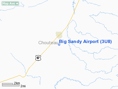
Location & QuickFacts
| FAA Information Effective: | 2008-09-25 |
| Airport Identifier: | 3U8 |
| Airport Status: | Operational |
| Longitude/Latitude: | 110-06-47.7470W/48-09-44.9270N
-110.113263/48.162480 (Estimated) |
| Elevation: | 2700 ft / 822.96 m (Estimated) |
| Land: | 154 acres |
| From nearest city: | 1 nautical miles S of Big Sandy, MT |
| Location: | Chouteau County, MT |
| Magnetic Variation: | 16E (1985) |
Owner & Manager
| Ownership: | Publicly owned |
| Owner: | Town Of Big Sandy |
| Address: | Po Box 381
Big Sandy, MT 59520 |
| Phone number: | 406-378-2258 |
| Manager: | Tom Hlavnicka |
| Address: | Box 366
Big Sandy, MT 59520 |
| Phone number: | 406-378-2629
MANAGER HOME PHONE: 788-8234 |
Airport Operations and Facilities
| Airport Use: | Open to public |
| Wind indicator: | Yes |
| Segmented Circle: | Yes |
| Control Tower: | No |
| Lighting Schedule: | DUSK-DAWN
ACTVT HIRL RY 06/24 - CTAF. |
| Beacon Color: | Clear-Green (lighted land airport) |
| Landing fee charge: | No |
| Sectional chart: | Great Falls |
| Region: | ANM - Northwest Mountain |
| Traffic Pattern Alt: | 800 ft |
| Boundary ARTCC: | ZLC - Salt Lake City |
| Tie-in FSS: | GTF - Great Falls |
| FSS on Airport: | No |
| FSS Toll Free: | 1-800-WX-BRIEF |
| NOTAMs Facility: | GTF (NOTAM-d service avaliable) |
| Federal Agreements: | N |
Airport Communications
Airport Services
| Airframe Repair: | MAJOR |
| Power Plant Repair: | MINOR |
| Bottled Oxygen: | NONE |
| Bulk Oxygen: | NONE |
Runway Information
Runway 06/24
| Dimension: | 3600 x 60 ft / 1097.3 x 18.3 m |
| Surface: | ASPH, Good Condition |
| Weight Limit: | Single wheel: 4000 lbs. |
| Edge Lights: | High |
| |
Runway 06 |
Runway 24 |
| Traffic Pattern: | Left | Left |
| Markings: | Basic, Good Condition | Basic, Good Condition |
| Obstruction: | , 50:1 slope to clear | 20 ft road, 680.0 ft from runway, 24:1 slope to clear |
|
Runway 13/31
| Dimension: | 2975 x 50 ft / 906.8 x 15.2 m |
| Surface: | TURF, Good Condition |
| |
Runway 13 |
Runway 31 |
| Traffic Pattern: | Left | Left |
| Obstruction: | 41 ft pline, 666.0 ft from runway, 16:1 slope to clear | 4 ft fence, 10.0 ft from runway, 2:1 slope to clear |
|
Runway 18/36
| Dimension: | 1430 x 55 ft / 435.9 x 16.8 m |
| Surface: | TURF, Good Condition |
| |
Runway 18 |
Runway 36 |
| Traffic Pattern: | Left | Left |
| Obstruction: | 36 ft pline, 513.0 ft from runway, 14:1 slope to clear | , 50:1 slope to clear |
|
Radio Navigation Aids
| ID |
Type |
Name |
Ch |
Freq |
Var |
Dist |
| LDS | NDB | Leeds | | 389.00 | 16E | 28.6 nm |
| LTY | NDB | Chester | | 323.00 | 15E | 40.4 nm |
| HVR | VOR/DME | Havre | 055X | 111.80 | 16E | 26.5 nm |
Remarks
- RY 31 HAS +55 FT TREES 555 FT FM RY END, 172 L. 10:1 APCH SLOPE TO RY END.
- ESTBD PRIOR TO 1959.
Images and information placed above are from
http://www.airport-data.com/airport/3U8/
We thank them for the data!
| General Info
|
| Country |
United States
|
| State |
MONTANA
|
| FAA ID |
3U8
|
| Latitude |
48-09-44.927N
|
| Longitude |
110-06-47.747W
|
| Elevation |
2700 feet
|
| Near City |
BIG SANDY
|
We don't guarantee the information is fresh and accurate. The data may
be wrong or outdated.
For more up-to-date information please refer to other sources.
|
|


