 |
|
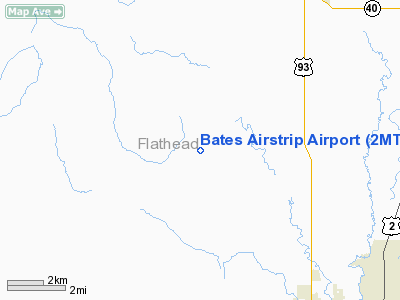
Location & QuickFacts
| FAA Information Effective: | 2008-09-25 |
| Airport Identifier: | 2MT0 |
| Airport Status: | Operational |
| Longitude/Latitude: | 114-24-49.0000W/48-18-00.0000N
-114.413611/48.300000 (Estimated) |
| Elevation: | 3110 ft / 947.93 m (Estimated) |
| Land: | 40 acres |
| From nearest city: | 7 nautical miles NW of Kalispell, MT |
| Location: | Flathead County, MT |
| Magnetic Variation: | () |
Owner & Manager
| Ownership: | Privately owned |
| Owner: | Byron Bates |
| Address: | 10112 N.e. 279th St.
Battle Ground, WA 98604 |
| Phone number: | 360-904-5981 |
| Manager: | Byron Bates |
| Address: | 10112 N.e. 279th St.
Battle Ground, WA 98604 |
| Phone number: | 360-904-5981 |
Airport Operations and Facilities
| Airport Use: | Private |
| Wind indicator: | Yes |
| Control Tower: | No |
| Sectional chart: | Great Falls |
| Region: | ANM - Northwest Mountain |
| Boundary ARTCC: | ZLC - Salt Lake City |
| Tie-in FSS: | GTF - Great Falls |
| FSS Toll Free: | 1-800-WX-BRIEF |
Runway Information
Runway 02/20
| Dimension: | 1500 x 50 ft / 457.2 x 15.2 m |
| Surface: | TURF, |
| |
Runway 02 |
Runway 20 |
| Traffic Pattern: | Left | Left |
| Obstruction: | 50 ft pline, 50.0 ft from runway | |
|
Radio Navigation Aids
| ID |
Type |
Name |
Ch |
Freq |
Var |
Dist |
| SAK | NDB | Smith Lake | | 515.00 | 18E | 11.7 nm |
| PLS | NDB | Polson | | 275.00 | 20E | 37.4 nm |
| LYI | NDB | Libby | | 414.00 | 17E | 43.2 nm |
| EUR | NDB | Eureka | | 392.00 | 20E | 48.2 nm |
| FCA | VOR/DME | Kalispell | 079X | 113.20 | 18E | 10.8 nm |
Remarks
- OWNER DESIRES CHARTING.
- LND RY 20, TKOF RY 02, RY 20 HAS 25 FT GRADE UP HILL.
- PRVDD VFR ONLY.
Images and information placed above are from
http://www.airport-data.com/airport/2MT0/
We thank them for the data!
We don't guarantee the information is fresh and accurate. The data may
be wrong or outdated.
For more up-to-date information please refer to other sources.
|
|


