 |
|
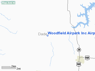
Woodfield Airpark Inc Airport |
Location & QuickFacts
| FAA Information Effective: | 2008-09-25 |
| Airport Identifier: | MU27 |
| Airport Status: | Operational |
| Longitude/Latitude: | 093-55-45.7740W/37-28-05.1650N
-93.929382/37.468101 (Estimated) |
| Elevation: | 1050 ft / 320.04 m (Estimated) |
| Land: | 80 acres |
| From nearest city: | 4 nautical miles NE of Lockwood, MO |
| Location: | Dade County, MO |
| Magnetic Variation: | 05E (1985) |
Owner & Manager
| Ownership: | Privately owned |
| Owner: | Woodfield Airpark Inc |
| Address: | Rr 2 Box 244 Bb Hwy
Greenfield, MO 65661 |
| Phone number: | 417-232-4308 |
| Manager: | Norman Corsaut |
| Address: | Rr 2 Box 244 Bb Hwy
Greenfield, MO 65661 |
| Phone number: | 417-232-4308 |
Airport Operations and Facilities
| Airport Use: | Private |
| Wind indicator: | Yes |
| Segmented Circle: | No |
| Control Tower: | No |
| Landing fee charge: | No |
| Sectional chart: | Kansas City |
| Region: | ACE - Central |
| Boundary ARTCC: | ZKC - Kansas City |
| Tie-in FSS: | COU - Columbia |
| FSS on Airport: | No |
| FSS Toll Free: | 1-800-WX-BRIEF |
Runway Information
Runway E/W
| Dimension: | 2600 x 120 ft / 792.5 x 36.6 m |
| Surface: | TURF, |
| |
Runway E |
Runway W |
| Traffic Pattern: | Left | Left |
| Obstruction: | 35 ft fence, 5.0 ft from runway | |
|
Runway NE/SW
| Dimension: | 1700 x 120 ft / 518.2 x 36.6 m |
| Surface: | TURF, |
| |
Runway NE |
Runway SW |
| Traffic Pattern: | Left | Left |
| Obstruction: | 35 ft fence, 10.0 ft from runway | |
|
Radio Navigation Aids
| ID |
Type |
Name |
Ch |
Freq |
Var |
Dist |
| LLU | NDB | Spring River | | 356.00 | 05E | 18.2 nm |
| ILJ | NDB | Willard | | 254.00 | 03E | 25.4 nm |
| EAD | NDB | Nevada | | 209.00 | 06E | 29.5 nm |
| PTS | NDB | Pittsburg | | 365.00 | 05E | 38.1 nm |
| FSK | NDB | Fort Scott | | 379.00 | 05E | 44.4 nm |
| EOS | VOR/DME | Neosho | 120X | 117.30 | 07E | 44.8 nm |
| SGF | VORTAC | Springfield | 116X | 116.90 | 04E | 29.2 nm |
Remarks
- PROVIDED APPROACH TO EACH RWY IS MAINTAINED FOR A MINIMUM 20:1 GLIDE SLOPE AND THE TRANSITIONAL SURFACE BE MAINTAINED FOR A 7:1 SLOPE.
Images and information placed above are from
http://www.airport-data.com/airport/MU27/
We thank them for the data!
| General Info
|
| Country |
United States
|
| State |
MISSOURI
|
| FAA ID |
MU27
|
| Latitude |
37-28-05.165N
|
| Longitude |
093-55-45.774W
|
| Elevation |
1050 feet
|
| Near City |
LOCKWOOD
|
We don't guarantee the information is fresh and accurate. The data may
be wrong or outdated.
For more up-to-date information please refer to other sources.
|
|


