 |
|
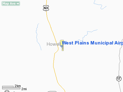
West Plains Municipal Airport |
Location & QuickFacts
| FAA Information Effective: | 2008-09-25 |
| Airport Identifier: | UNO |
| Airport Status: | Operational |
| Longitude/Latitude: | 091-54-09.6310W/36-52-42.3300N
-91.902675/36.878425 (Estimated) |
| Elevation: | 1228 ft / 374.29 m (Surveyed) |
| Land: | 210 acres |
| From nearest city: | 10 nautical miles NW of West Plains, MO |
| Location: | Howell County, MO |
| Magnetic Variation: | 02E (2000) |
Owner & Manager
| Ownership: | Publicly owned |
| Owner: | City Of West Plains |
| Address: | 1910 Holiday Lane-box 710
West Plains, MO 65775 |
| Phone number: | 417-256-7176 |
| Manager: | Jack Bowman |
| Address: | 4523 Co Road 2340
Pomona, MO 65789 |
| Phone number: | 417-257-7658 |
Airport Operations and Facilities
| Airport Use: | Open to public |
| Wind indicator: | Yes |
| Segmented Circle: | Yes |
| Control Tower: | No |
| Lighting Schedule: | DUSK-DAWN
ACTVT MIRL RY 18/36; PAPI RYS 18; 36 & REIL RYS 18 & 36 AFT 2200 - CTAF. |
| Beacon Color: | Clear-Green (lighted land airport)
BCN LOCATED ON WATER TWR WEST OF ARPT. |
| Sectional chart: | Kansas City |
| Region: | ACE - Central |
| Boundary ARTCC: | ZME - Memphis |
| Tie-in FSS: | COU - Columbia |
| FSS Toll Free: | 1-800-WX-BRIEF |
| NOTAMs Facility: | UNO (NOTAM-d service avaliable) |
| Federal Agreements: | NGY |
Airport Communications
| CTAF: | 122.800 |
| Unicom: | 122.800 |
Airport Services
| Fuel available: | 100LLA |
| Airframe Repair: | NONE |
| Power Plant Repair: | NONE |
Runway Information
Runway 18/36
| Dimension: | 5102 x 75 ft / 1555.1 x 22.9 m |
| Surface: | ASPH, Good Condition |
| Weight Limit: | Single wheel: 30000 lbs.
Dual wheel: 39000 lbs. |
| Edge Lights: | Medium |
| |
Runway 18 |
Runway 36 |
| Longitude: | 091-54-09.1380W | 091-54-10.1240W |
| Latitude: | 36-53-07.5500N | 36-52-17.1100N |
| Elevation: | 1225.00 ft | 1228.00 ft |
| Alignment: | 127 | 1 |
| Traffic Pattern: | Left | Left |
| Markings: | Non-precision instrument, Good Condition | Non-precision instrument, Good Condition |
| Crossing Height: | 37.00 ft | 40.00 ft |
| VASI: | 2-light PAPI on left side | 2-light PAPI on left side |
| Visual Glide Angle: | 3.00° | 3.00° |
| Runway End Identifier: | Yes | Yes |
| Obstruction: | 34 ft trees, 1435.0 ft from runway, 36:1 slope to clear | 28 ft trees, 1338.0 ft from runway, 152 ft right of centerline, 40:1 slope to clear |
|
Radio Navigation Aids
| ID |
Type |
Name |
Ch |
Freq |
Var |
Dist |
| MNF | NDB | Mountain View | | 365.00 | 03E | 11.5 nm |
| AOV | NDB | Bilmart | | 341.00 | 02E | 37.6 nm |
| AJX | NDB | Ash Flat | | 344.00 | 03E | 44.3 nm |
| HUW | VOR/DME | Hutton | 053X | 111.60 | 02E | 0.4 nm |
| FLP | VOR/DME | Flippin | 075X | 112.80 | 03E | 43.9 nm |
| MAP | VORTAC | Maples | 081X | 113.40 | 06E | 43.2 nm |
| DGD | VORTAC | Dogwood | 031X | 109.40 | 06E | 47.6 nm |
Remarks
- HELICOPTER OPS & TRAINING ON & INVOF ARPT.
Images and information placed above are from
http://www.airport-data.com/airport/UNO/
We thank them for the data!
| General Info
|
| Country |
United States
|
| State |
MISSOURI
|
| FAA ID |
UNO
|
| Latitude |
36-52-42.330N
|
| Longitude |
091-54-09.631W
|
| Elevation |
1228 feet
|
| Near City |
WEST PLAINS
|
We don't guarantee the information is fresh and accurate. The data may
be wrong or outdated.
For more up-to-date information please refer to other sources.
|
|


